Distance: 10,7 km
walk
Duration: 2h
Difficulty : Very easy
JAU-DIGNAC-ET-LOIRAC
JAU-DIGNAC-ET-LOIRAC
Discover the town of Jau Dignac and Loirac, a former island in the Gironde estuary.
At the bend of a path you can see the Green Lizard Lacerta Viridis basking in the sun or a European Pond Terrapin Ernis Orbicularis...
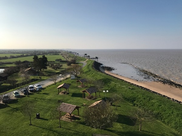
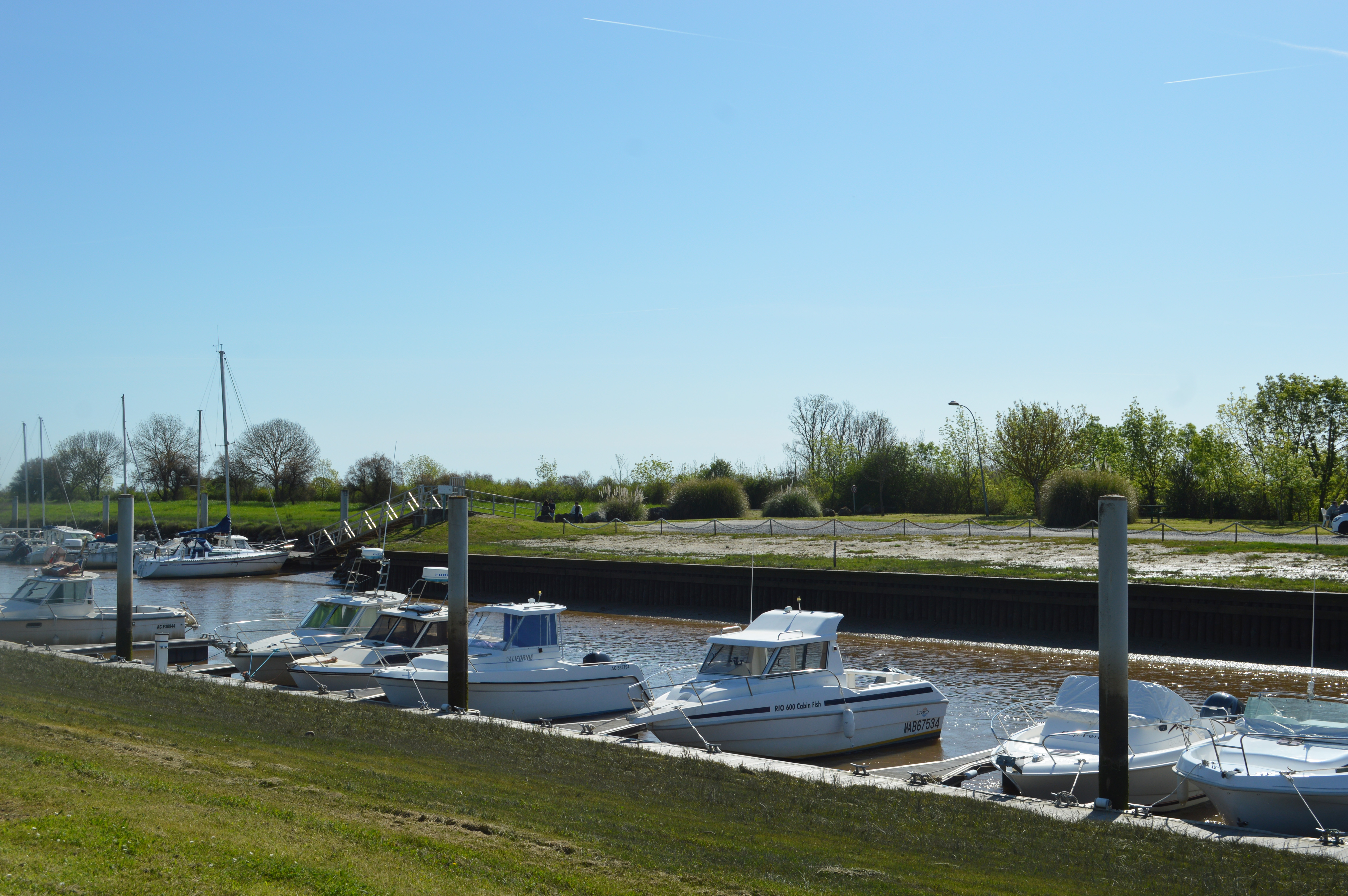
Hike to discover nature along the dykes with a view of the Gironde estuary, the mattes (polders), the marshes, the channels and the port of Richard.
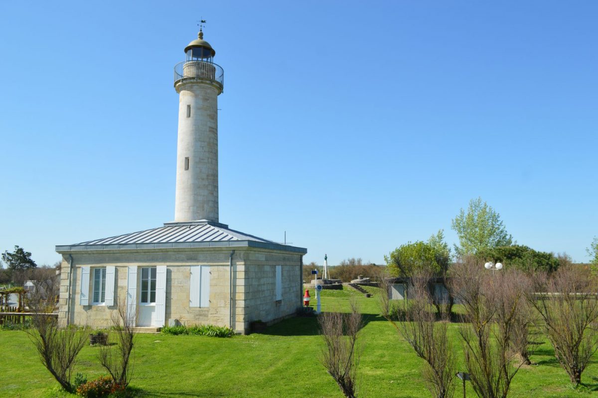
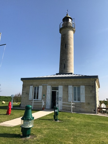
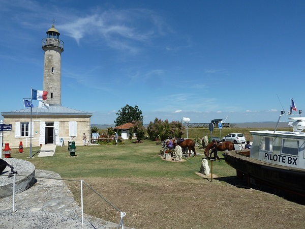
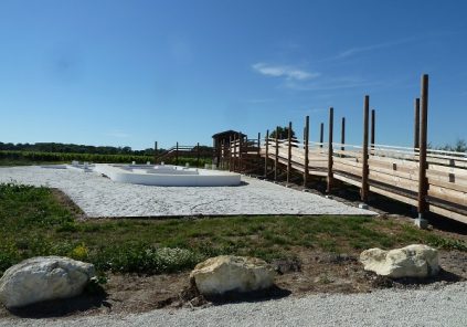
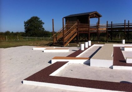
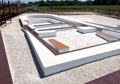
From the top of the 18m lighthouse-museum of Richard, a grandiose 360° landscape awaits you.
At the bend of a path you can see the Green Lizard Lacerta Viridis basking in the sun or a European Pond Terrapin Ernis Orbicularis...
Hike to discover nature along the dykes with a view of the Gironde estuary, the mattes (polders), the marshes, the channels and the port of Richard.
From the top of the 18m lighthouse-museum of Richard, a grandiose 360° landscape awaits you.
Your itinerary
1
From the car park to the square
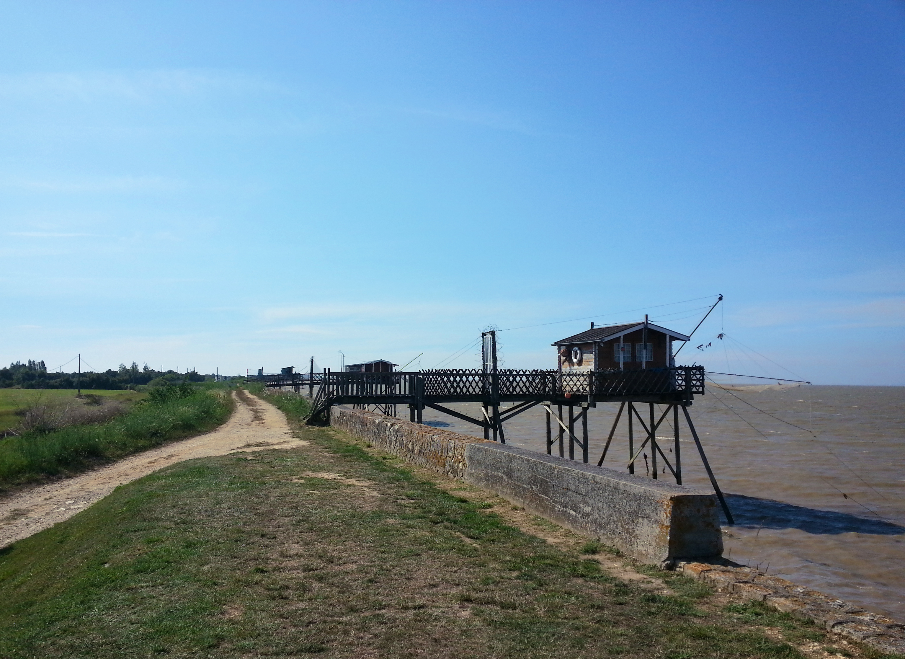
Leave the car in the parking lot of Richard's lighthouse. At the picnic area, go up on the dyke and follow it on your left. Get closer to the nearest small fishing hut (on your right) You are in front of a plaice .
2
From the lighthouse to the red buoy
Step forward and observe this intriguing fishing net. After leaving the access road to the lighthouse on your left, continue to advance along the dike. At the ninth square, take Paul's pass on your left down the dyke, a straight line that crosses the mattes. Arrived at the D2 road, turn left, follow this road for a few meters then before the red buoy indicating the lighthouse, take the path on the right in the marsh, indicated by a directional sign.
3
Dignac
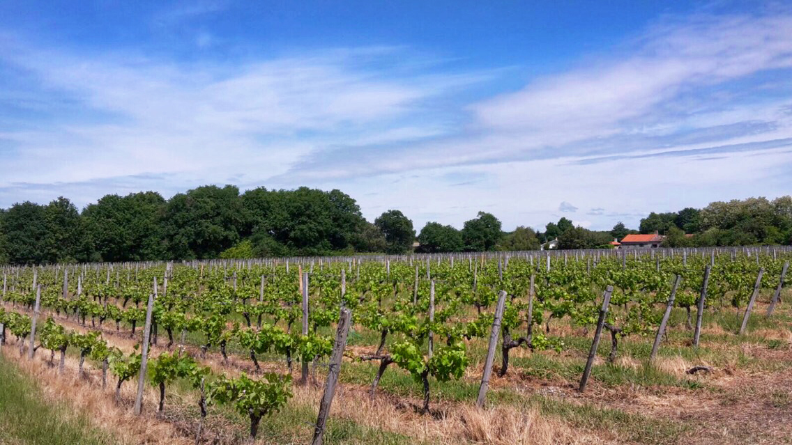
At the end of the path, take the path on the left which will take you to Dignac. You will be at the highest point of your hike. Continue straight ahead on Chemin de Perey, to the stop sign and take the road opposite. On leaving Dignac, follow the departmental D103E3. At the intersection, head left then turn right at the sign "chemin du port de Richard" to head towards the port through the vineyards. Keep going straight ahead.
4
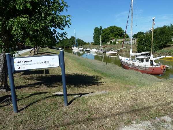
From the port of Richard to the Chapel
At the end of this road, turn right onto the D2 as far as the Richard channel. Arrived at the port, you can continue straight for 500m to discover the archaeological site of the chapel rich in history!
5
From port to lighthouse
Retrace your steps to reach the port of Richard, pass along the huts, along the channel of Richard on the cordon. At the end on the right the "beach" then follow the dyke. Throughout, you notice the presence of many squares. Take a good look, you never know you might see the fishermen in action and if you're lucky they might show you the inside of their charming little fishing huts! Walk to the lighthouse and admire this very special landscape where live all kinds of animals.
Points of interest
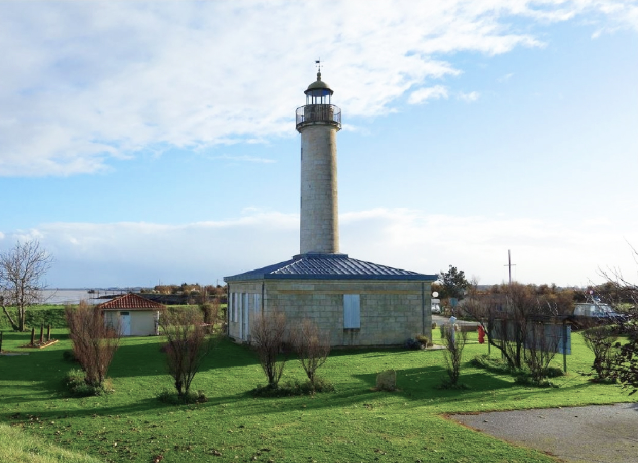
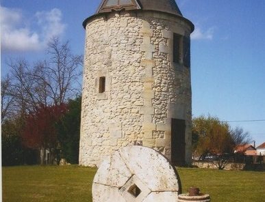
Richard's Lighthouse
Richard's Harbor
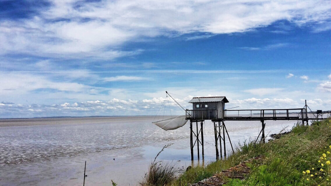
The squares
3
2