Distance: 32 km
Strolling along
Duration: 7h
Difficulty : Average
SAINT-VIVIEN-DE-MEDOC
White and red (GR®)
Around water (canal, stream, lake, marsh, ...)
SAINT-VIVIEN-DE-MEDOC
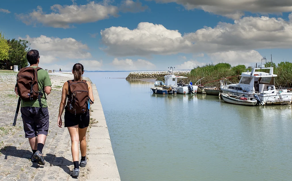
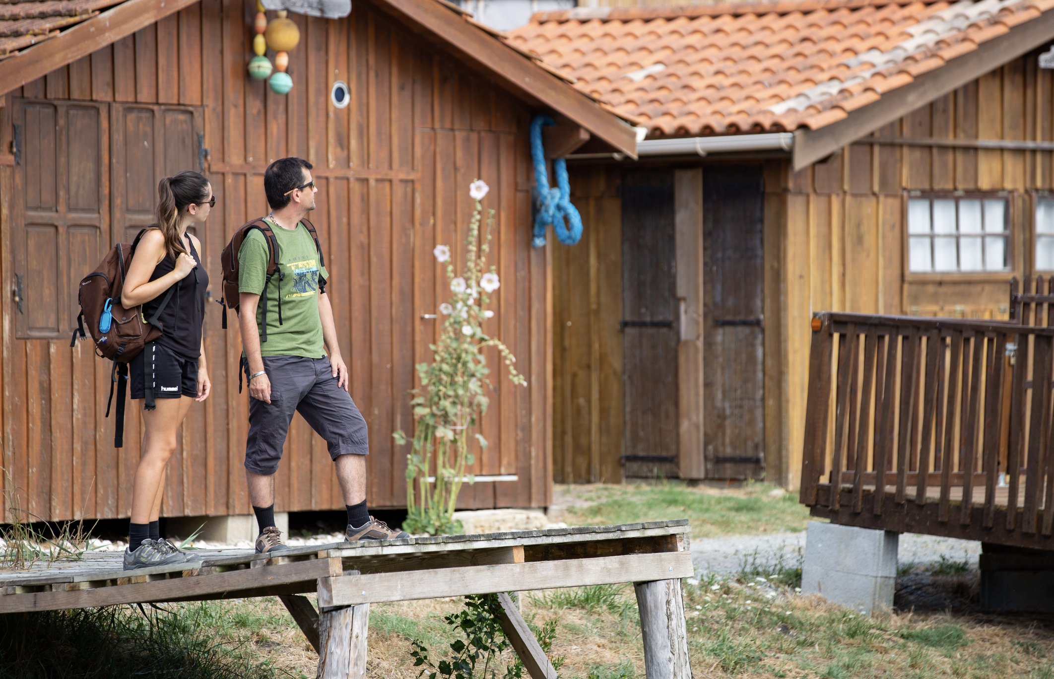
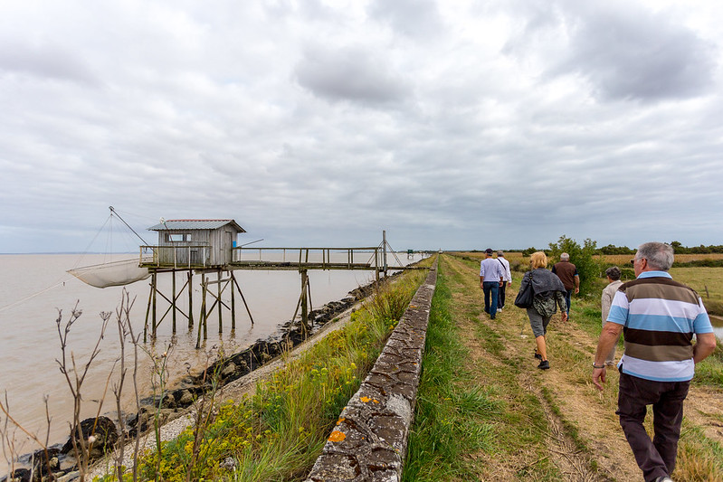
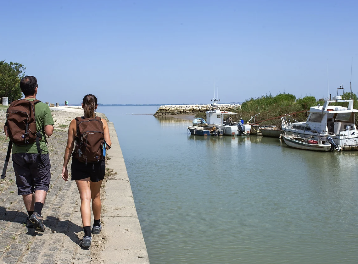
From the church with the surprising bell tower of Saint-Vivien-de-Médoc, this 32 km part of the Aamdour path joins Jau-Dignac-et-Loirac and the Richard lighthouse through a typical setting of the estuary with its traditional squares, wooden fishing huts on stilts. Near the port of Richard is the archaeological site of the Chapel with a superposition of remains, the oldest of which date from the 1st century BC. Direction Saint-Christoly-Médoc via the ports of Goulée and By.
Your itinerary
1
Step 1
The start of this stage is behind the Saint-Vivien church, go down the main course towards the pharmacy and turn right onto Avenue Lazare Carnot. After 870 m, turn onto Chemin de Cassat.
2
Step 2
At the stop sign, turn right on the road to the Temple to fork 550 m to the left on the wooded dirt road. Follow this path for 2,1 km and you will turn left at the sign for Chateau Noaillac, just after passing through a small hamlet of houses.
3
Step 3
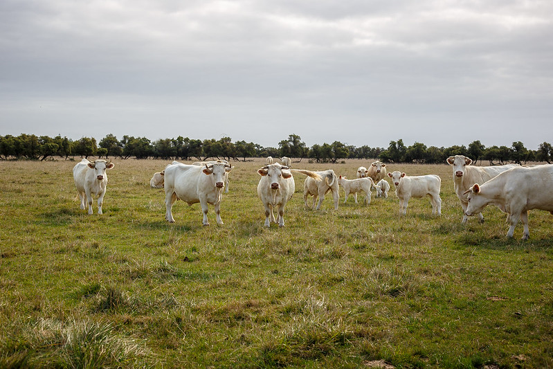
On the road to Vensac, you cross a bridge which overlooks the channel of the Gua. For 2,1 km, you cross the meadows which dominate the landscape of Jau-Dignac-et-Loirac.
4
Step 4
At the intersection, turn left once, and at the stop sign left again to take the D103E1. Follow it for 550 m then turn right at the second path surrounded by plots of vines.
5
Step 5
Follow the road straight for 1,9 km: via the chemin de Broustera , you cross a hamlet, then you join the chemin de la Brasserie. Passing the last houses, turn right on Chemin de Semensan.
6
Step 6
Follow this path for 1 km, then turn left to go around the first crossed house and continue on the left until the bend where you take the marked dirt road on the left.
7
Step 7
You enter on paths that will cross the wet meadows to the estuary of the Gironde. Follow this path for 1 km to the D2, turn left and take the first path on the right.
8
Step 8
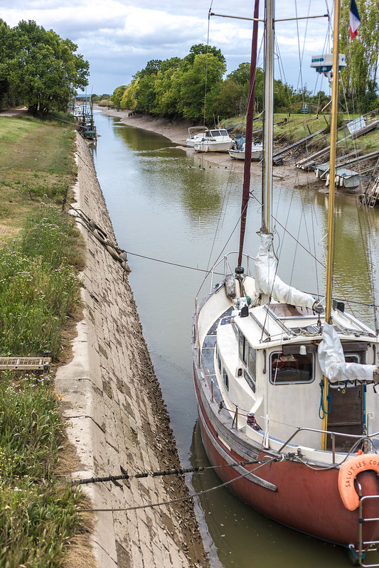
You are on the edge of the estuary, turn right and walk along the shore, dotted with squares, the famous fishermen's huts on stilts, to the Richard lighthouse. When you pass the latter, still following the edge of the bank, you travel 1,7 km to reach the Richard channel. Follow the path to Richard's Port.
9
Step 9
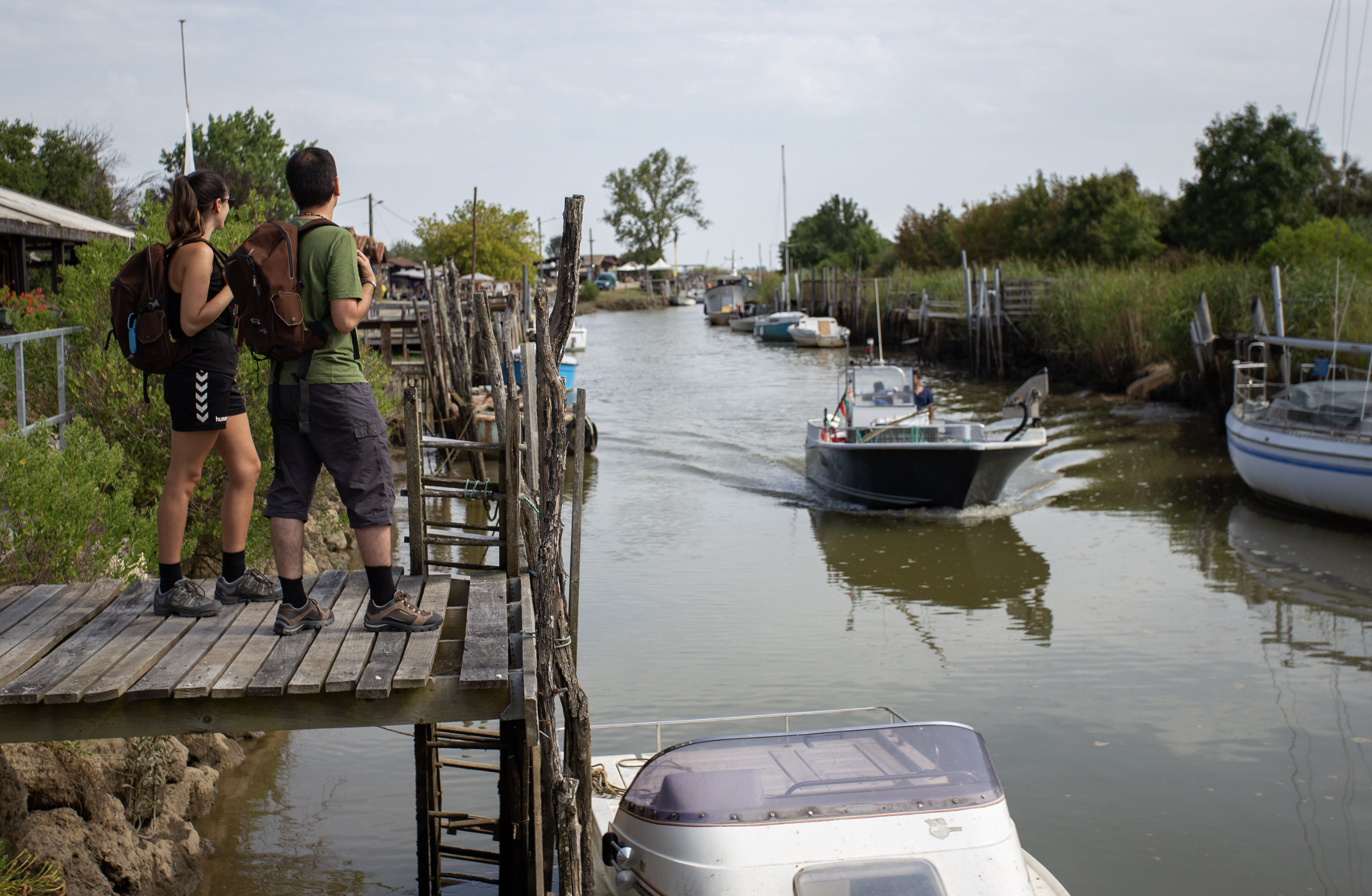
From the port, take the D2 to the left. Before turning on the first road on the right, do not hesitate to continue for 200 m to visit the archaeological site of the Chapel for free, the detour is worth a look! After 900 m, turn left on the chemin du port de Goulée, cross the D102E2, then turn 230 m on the second path on the left, follow for 670 m and turn right until you find the chemin du port de Goulée which will take you directly to it.
10
Step 10
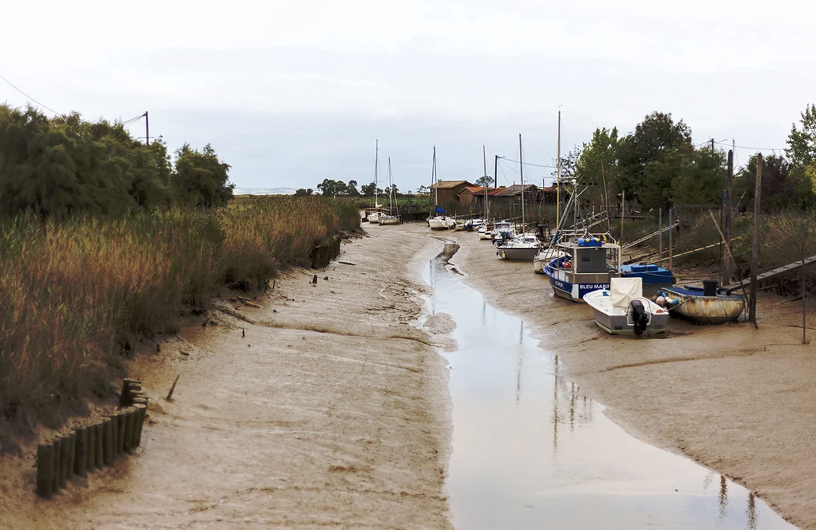
From the port of Goulée, turn left (small rest area) and follow the Chenal de Guy to rejoin the banks of the estuary. For 10 km, you follow the edges of the estuary, between meadows and mattes, you join the D2 and follow it for 980m. To the left you return to the banks of the estuary for 470 m then to the right, cross the D2. By taking the first path on the left you arrive at the Château de La Tour de By and its vineyard and you cross it and reach the port of By by following the signs. On the D2, take the first path on the right after the bridge for 530 m. Turn left on Chemin Séran to the Château Tour St Bonnet property and follow the markings to finally reach the finish point of this long 32 km stage in Saint-Christoly-Médoc.
11
Step 11
You arrive in the village of Saint-Christoly-Médoc.
Points of interest
Saint-Vivien-Medoc
Port of Richard and polders
Archaeological site of the Chapel
Saint-Christoly-Medoc