Distance: 13,5 km
walk
Duration: 3h
Difficulty : Easy-to-use
Elevation: 65 D +
Departure: CAUDROT
Vert
Around water (canal, stream, lake, marsh, ...)
Campaigns
CAUDROT
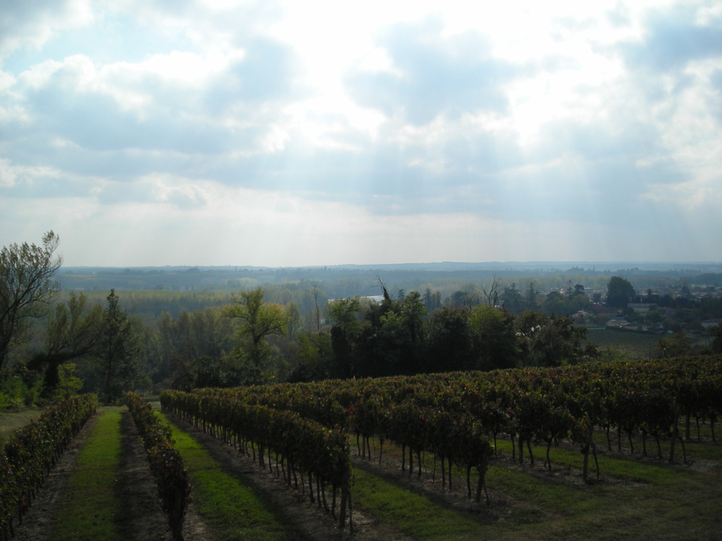
The Coteaux Macariens welcome you for a stroll between the Garonne and the vineyards.
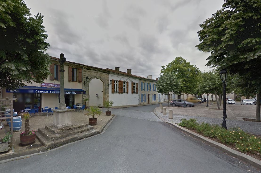
Recommended departure from Place de Caudrot.
To see: the port and the mouth of the Dropt on the Garonne, the decorations painted in trompe l'oeil of the church of Caudrot, the points of view from the hills of Caudrot on the valley of the Garonne and the village of Sainte -Foy La Longue on the vineyard.

Your itinerary
1
The start
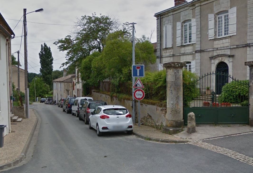
Departure from the Place des Tilleuls. Before leaving on the path you can visit caudrot... Pass under the town entrance porch to the right of the café and straight ahead.
2
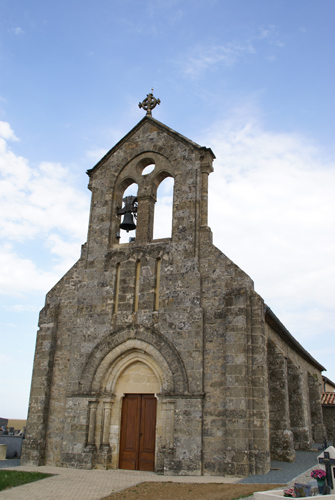
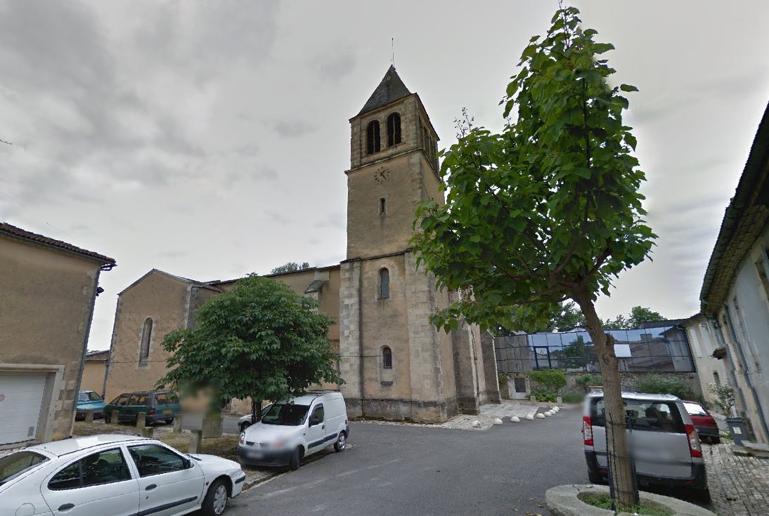
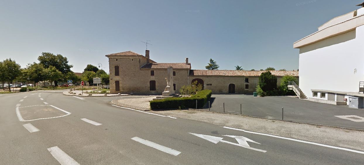
St. Christopher Church
At the very end of rue F. Masson, turn right then left towards the church.
3
Port Street
Behind the choir of the church, reach rue du Castéra which will take you after a small loop towards rue du Port
4
The Port
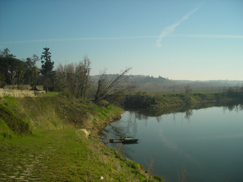
The old port of Caudrot is located in a bend in the river, go up the path to your left above the quays, then at street level turn left and right again rue Pierre Gemin.
5
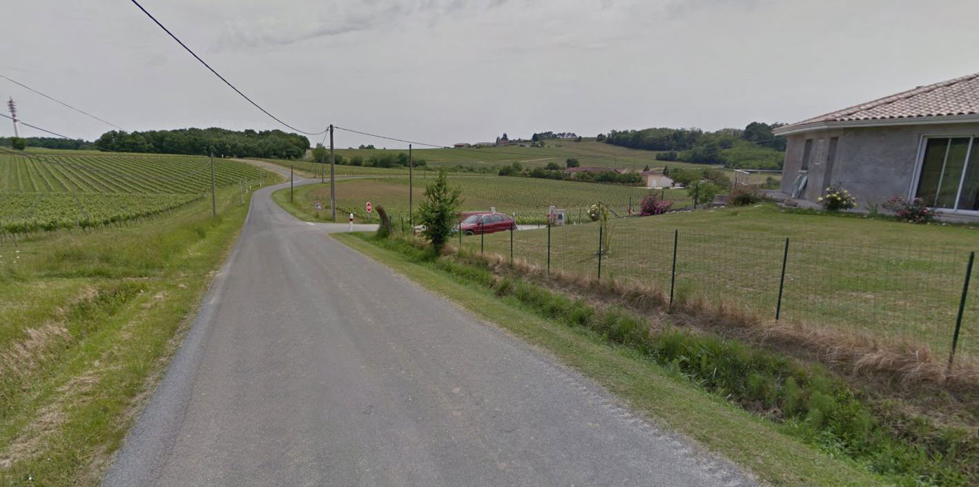
Crossing the RD1113
Back on the departmental road to return to the hiking loop, walk along towards the square to the pedestrian crossing then cross towards Sainte-Foy La Longue
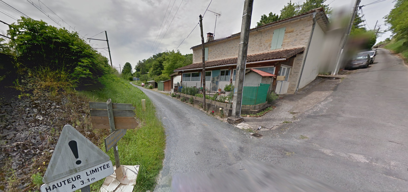
6
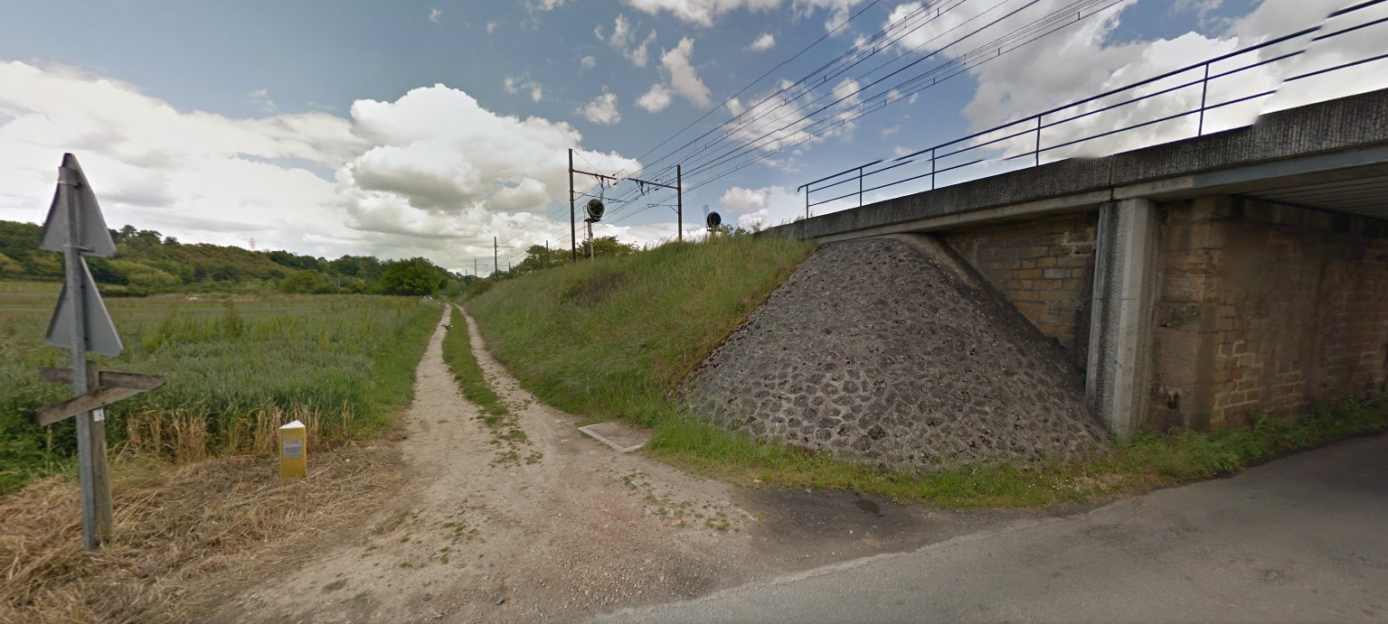
railway bridge
You leave the city and pass under the railway bridge, at its exit turn right on the path then straight on for 500 m.
7
Not St George
At the end of the road you find a road crossing near another bridge. Turn left towards the coast.
8
Place called Majoureau
After walking 1,5 km on the road you arrive at a crossroads, turn right then continue straight for 300m.
9
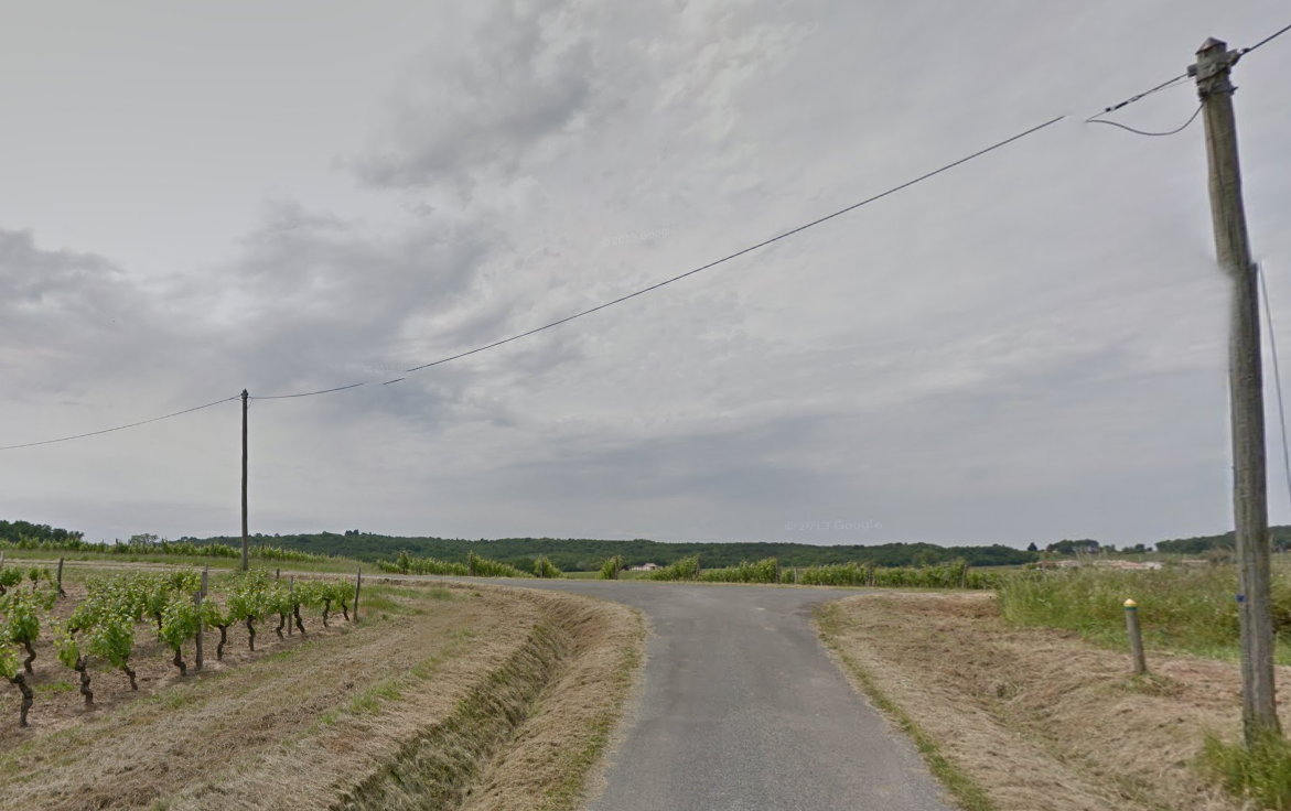
dirt road
Turn left into the path and straight ahead. Follow it for 1km to reach the D227
10
D227 towards Ste Foy La Longue
At the D227 opposite the crossing, turn right to reach Sainte-Foy La Longue.
11
Sainte-Foy-La-Long
At the crossroads, turn left towards the village then straight ahead towards St André du Bois for 500m.
12
Place called Charrier
Turn left towards Charrier then straight on for 1km.
13
Place called La Juncasse
Turn left at the T-junction and straight on for 700m
14
Back on the D227
You arrive at a previous crossing point, turn right on the D227 and follow it for 500m
15
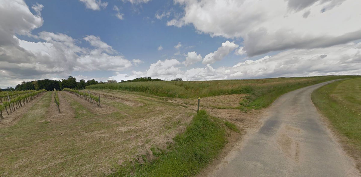
Place called Le Branle
Leave the D227 and take the small road to the right after the houses. Continue for 1,5 km.
16
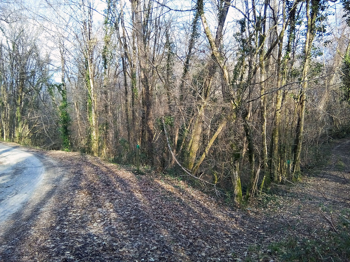
Forest - Locality La Moulette
Leave the small paved road to cross the wooded area on your left, the path winds uphill in the wood for 150m
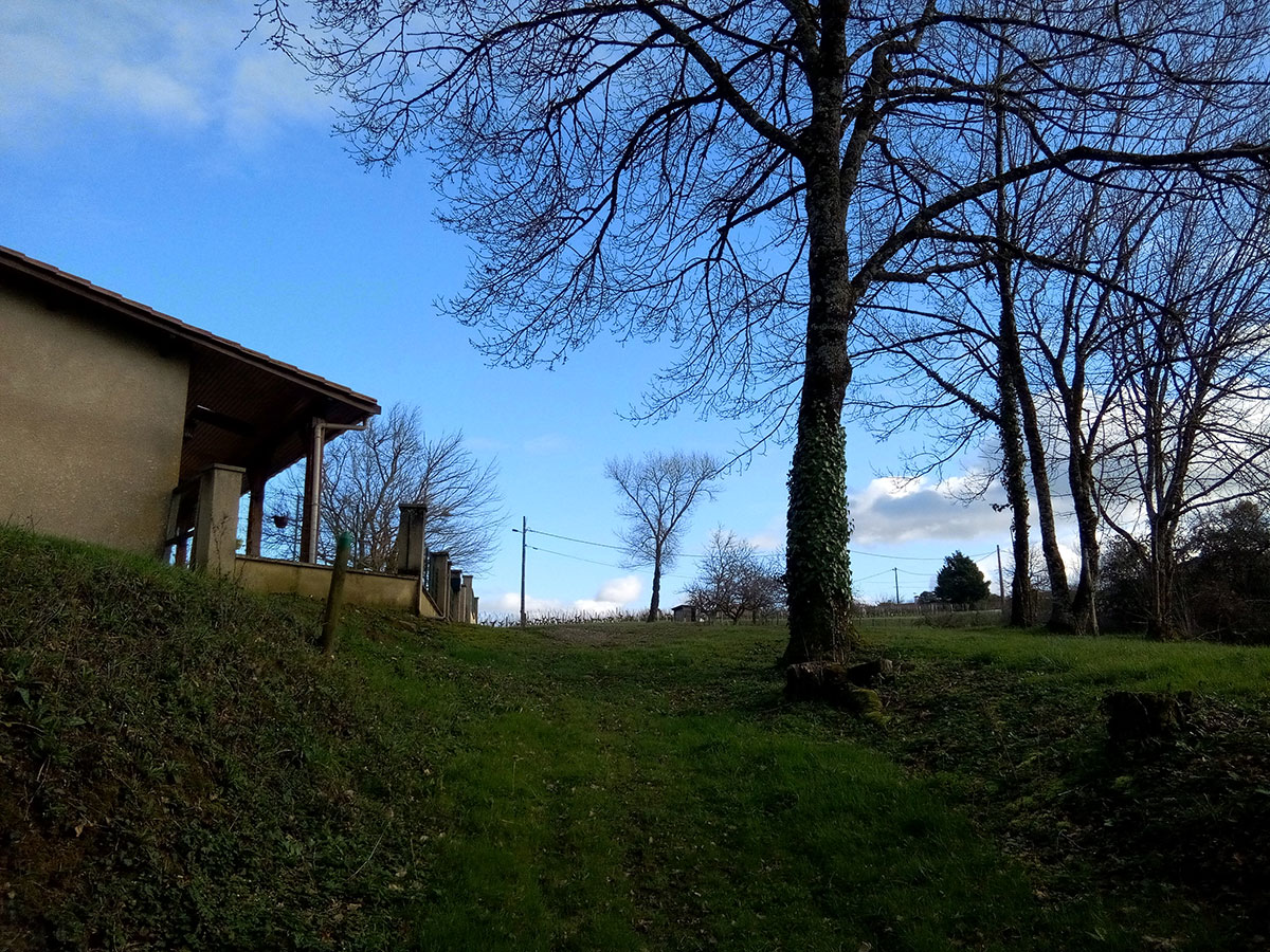
17
Out of the forest
Coming out of the wood you pass a house and turn left on the tarmac road. Straight on for 300m.
18
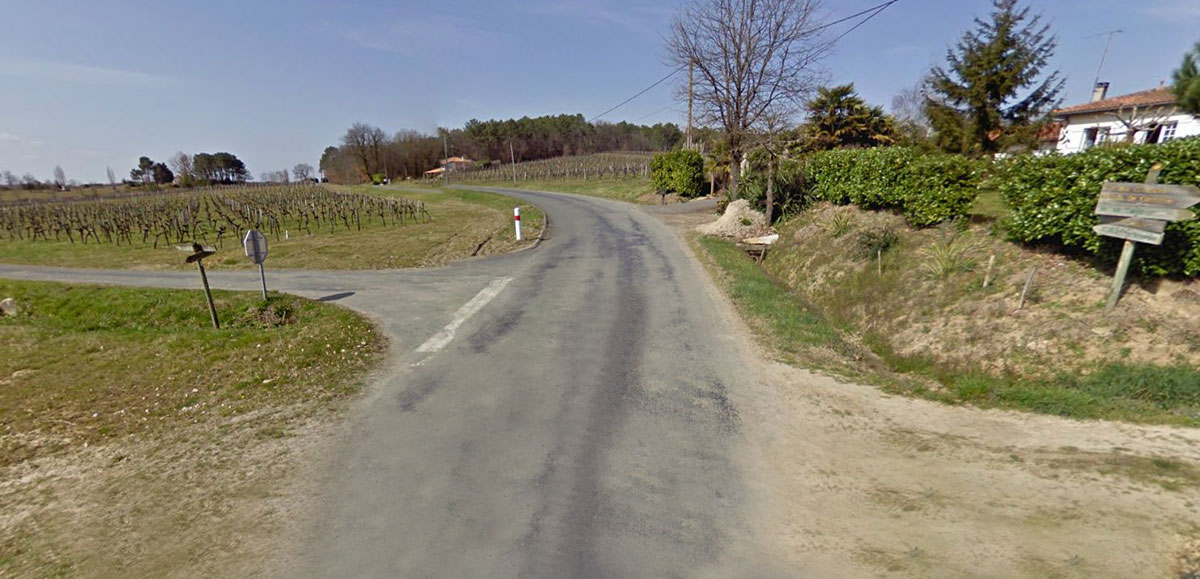
Place called Parralot
Turn right, go 50m then turn left to reach the D227
19
D227 Place called Catouret
Cross the D227 and take the paved road in front of you. Direction Château Majoureau for 150m
20
Place called Jautan
Turn right towards Château Le Bert for 150m
21
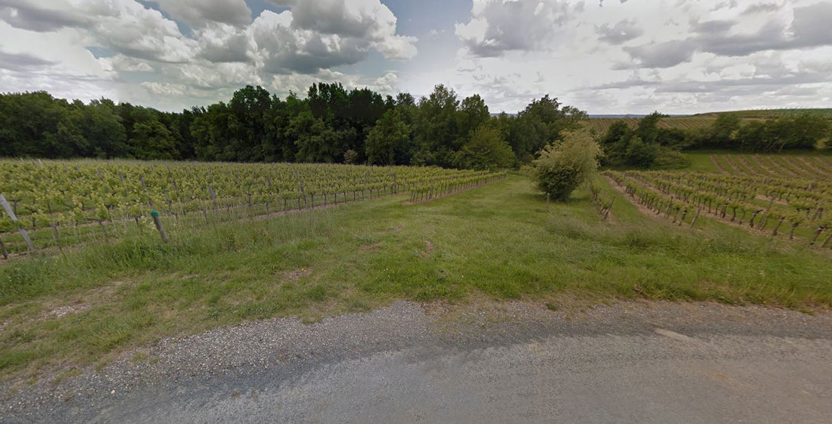
Dirt road and woods
Leave the tarmac road in the bend to take the path on your right in the middle of the vineyards. Follow it through the woods to go down to the place called Pas Saint-Georges.
22
Place called Pas Saint-Georges
From this point turn right along the railway line, you take the route you followed on the outward journey to Caudrot
Points of interest

Mouth of the Dropt
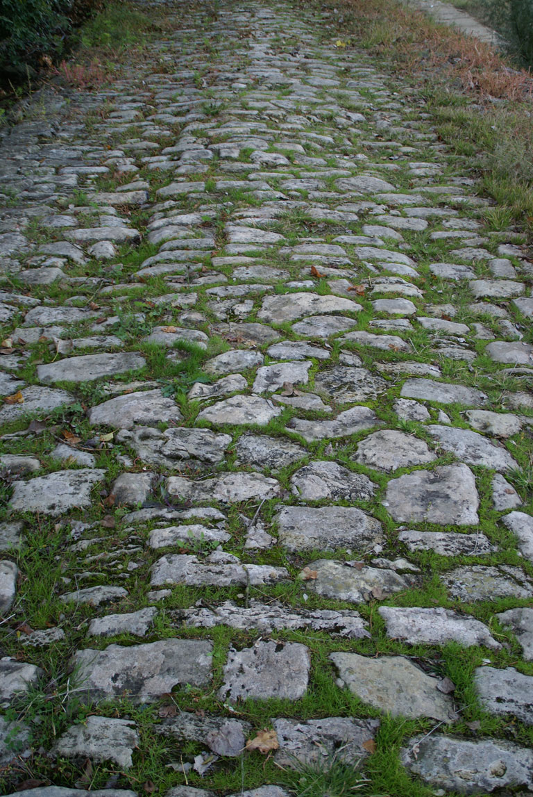
Old cobblestones on the walking path along the Garonne
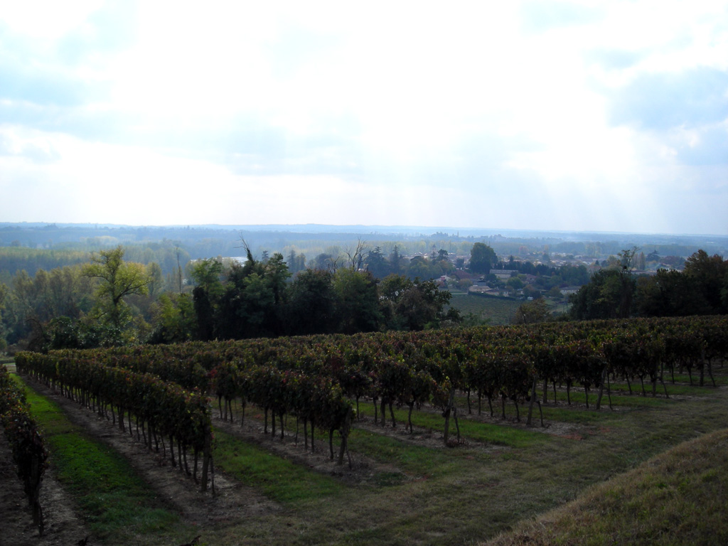
Garonne valley, panorama from the heights of Caudrot
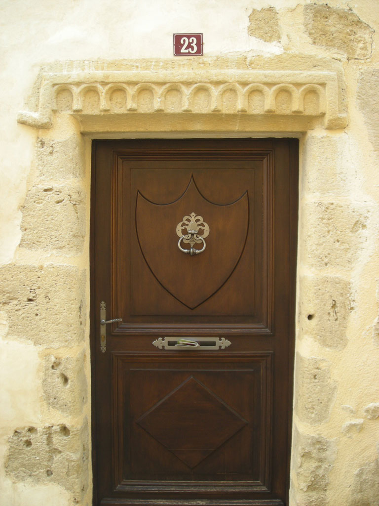
door lintel
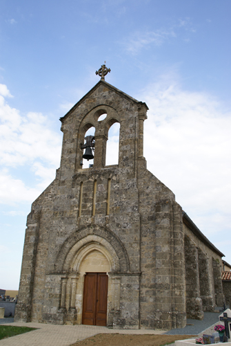
Sainte-Foy church in Sainte-Foy-la-Longue
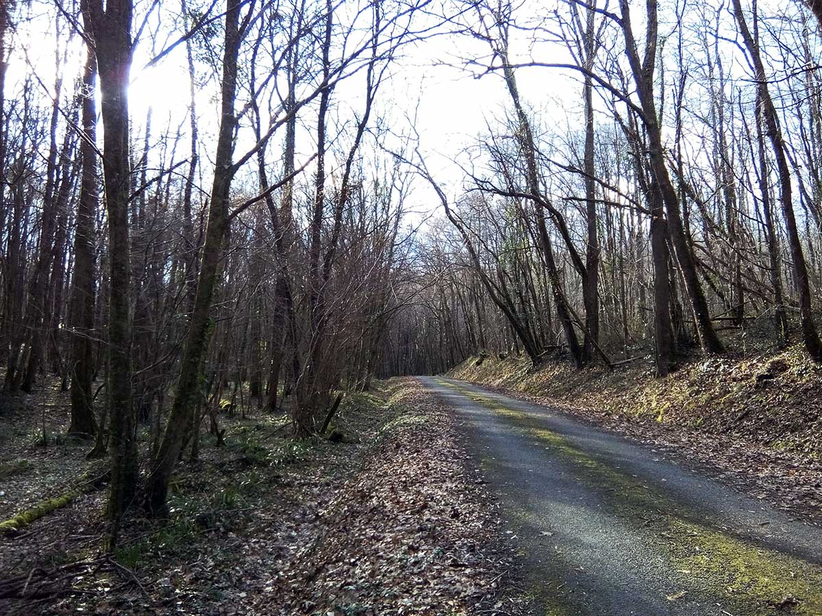
Road in the middle of the forest