Distance: 18 km
by bike
Duration: 1h
Difficulty : Easy-to-use
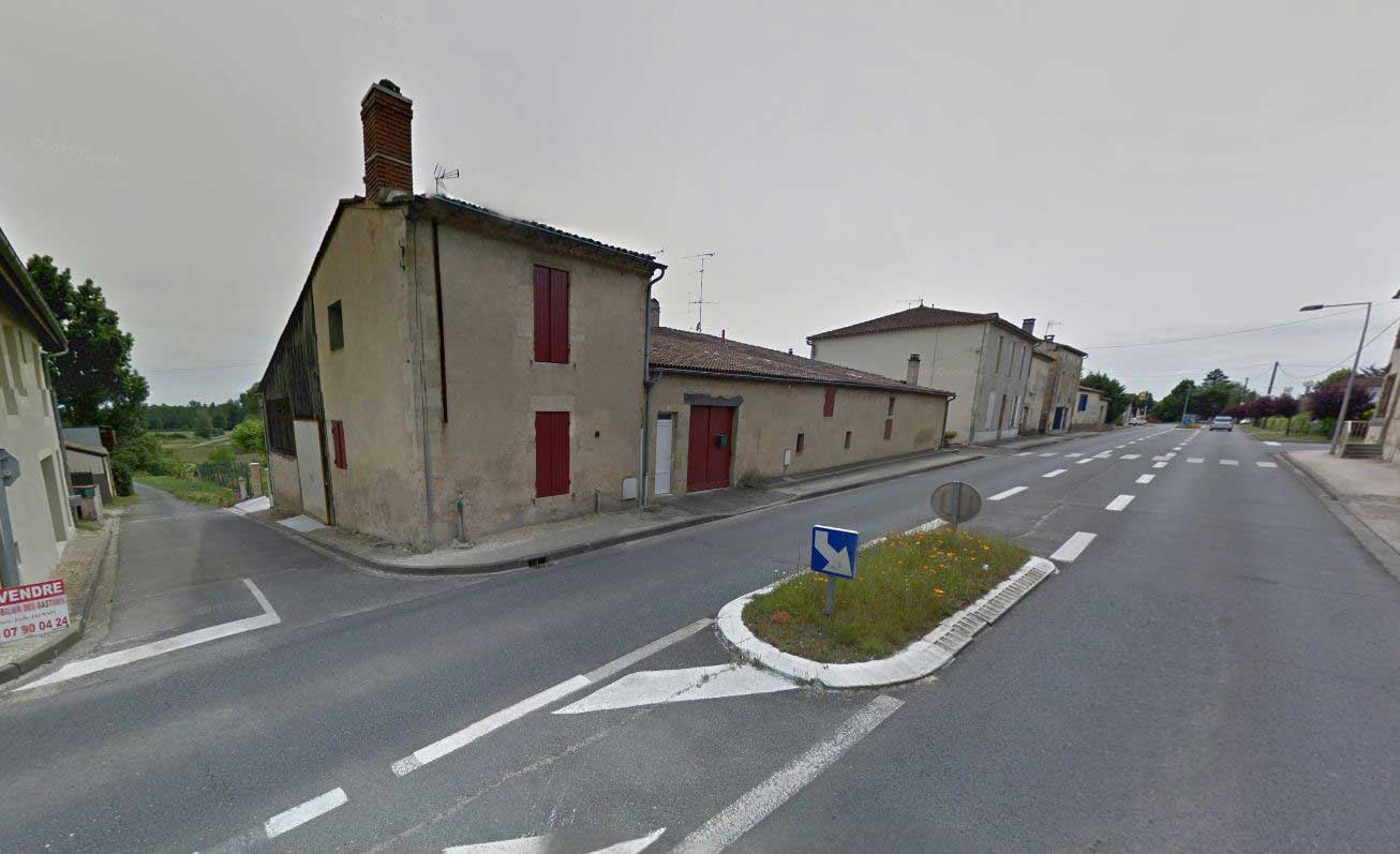
Departure: SAINT-PIERRE-D'AURILLAC
Vert
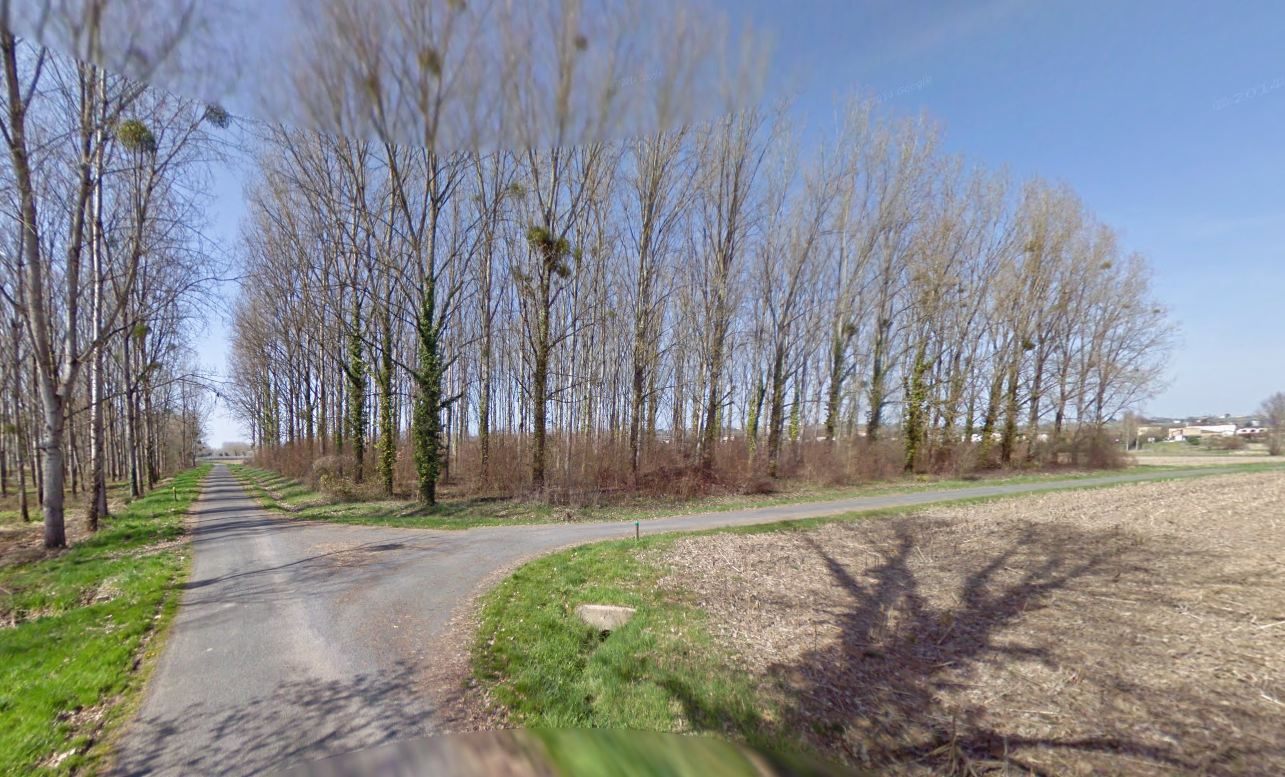
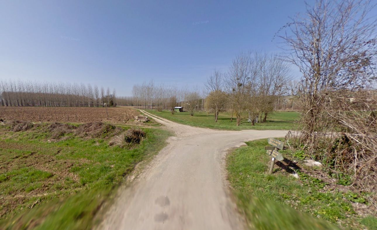
Around water (canal, stream, lake, marsh, ...)
Campaigns
SAINT-PIERRE-D'AURILLAC
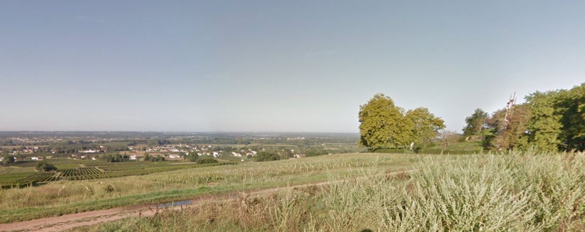
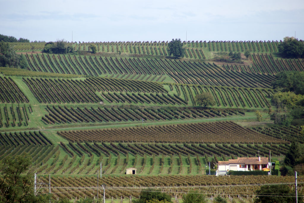
Stroll between the river and the hills of the Garonne. Pretty views over the Garonne valley, the vineyards of Entre-deux-Mers and a remarkable cultural and religious heritage.


Your itinerary
1
The start
Departure in front of the Porte de Benauge
2
Burdeau Street
Turn rue Burdeau then left chemin de Cassagne to the RD1113
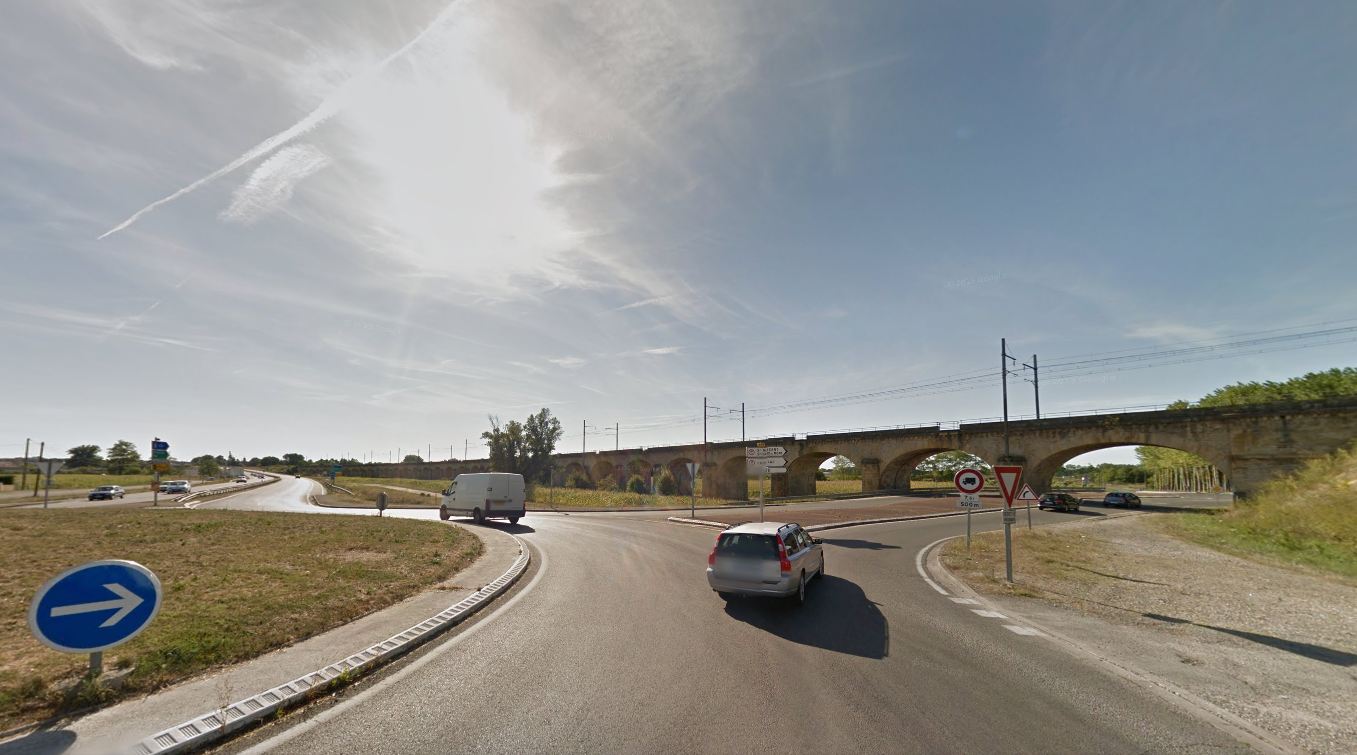
3
RD1113
At the roundabout on the RD1113 turn right under the viaduct direction Cadillac
4
D10
50 m after entering the village of Saint-Maixant take the first road on the right, rue du Portail Rouge
5
Place called Red Gate
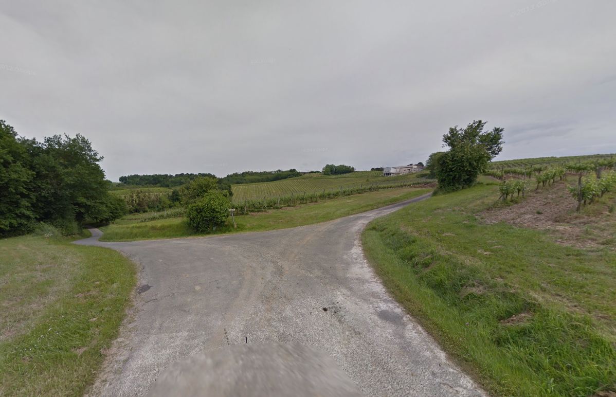
At the fork turn left, then at the next fork right and straight on until the D120
6
D120
Turn right towards Verdelais, enter the village, at the crossroads leave the space on your right to continue straight.

7
The Mouliatte
Turn right and continue for 1,5 km to the D19
8
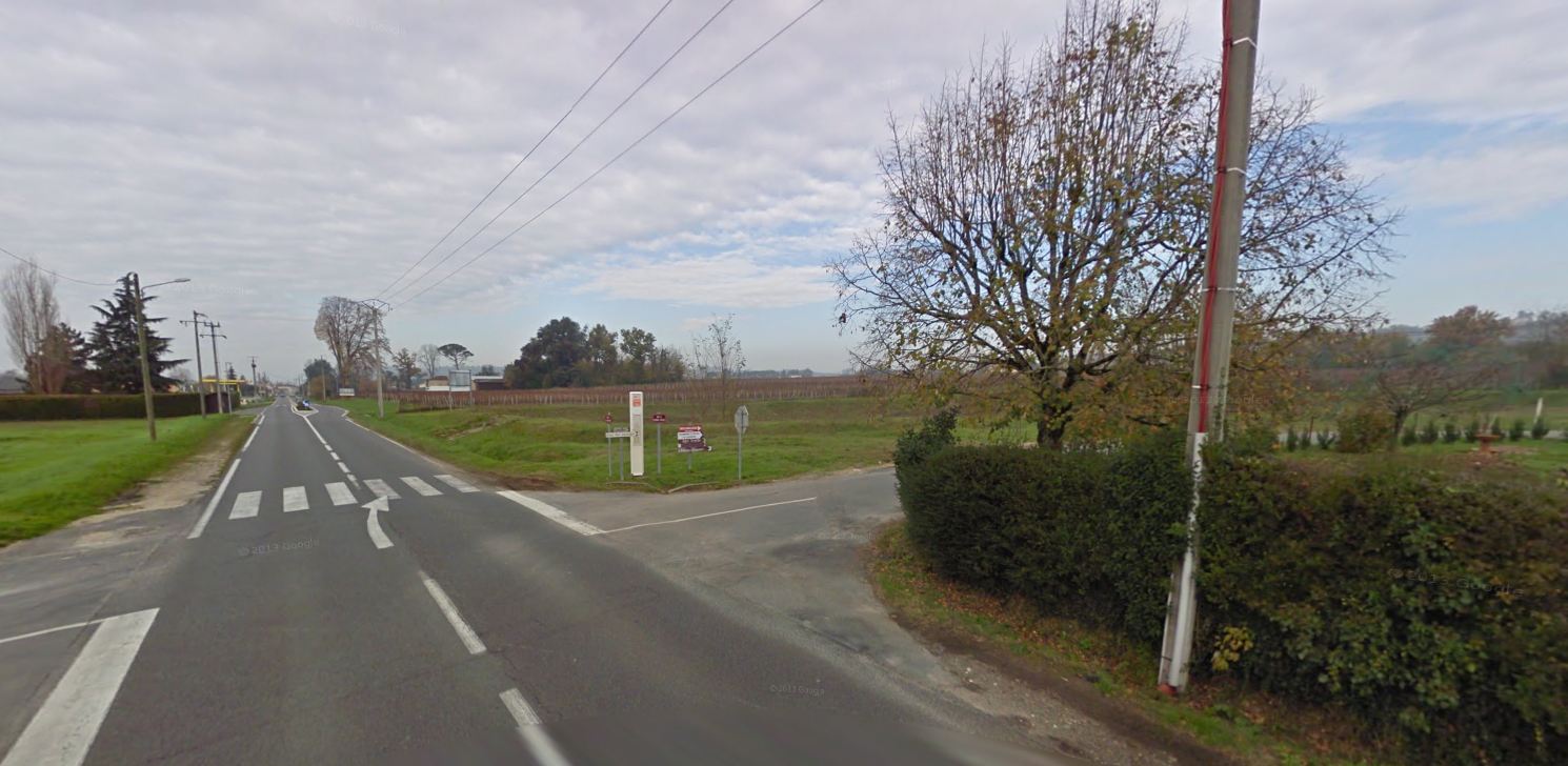
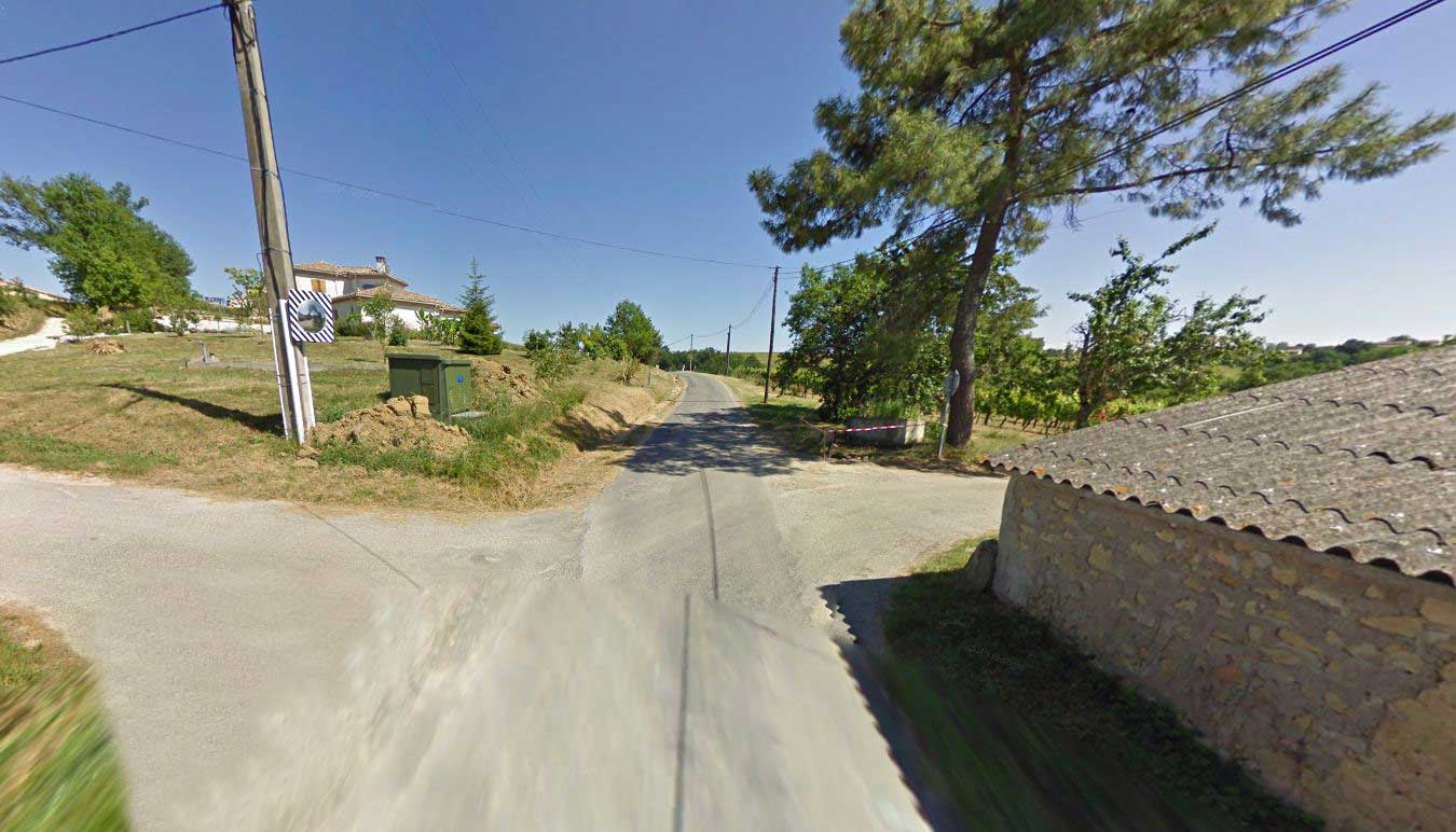
D19
At Give way on the D19 turn right and cross the place called Mouchac
9
Place called Mouchac
At a place called Mouchac take direction Bernille
10
North Mouchac
At the Y-junction turn right towards Bernille
11
Bernilla crow's feet
At the crow's feet leave Bernille on your right to turn left, then left again and straight on for 1,5 km
12
Place called La Saubote north
At the T junction turn right then at the next junction turn right again towards the place called Penot

13
Place called La Tuilerie
At a place called La Tuilerie turn right behind a house then straight on the same road for 1 km
14
Vallad's path
After a passage uphill you arrive at a crossroads, turn left and straight ahead towards the village of Pian sur Garonne

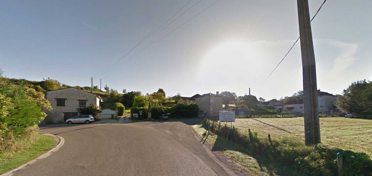
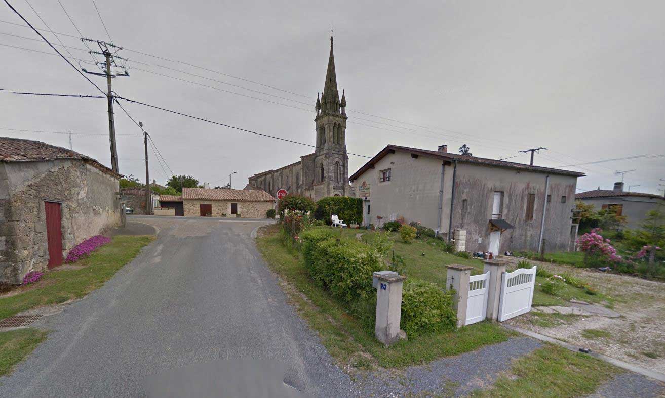
15
Pian-sur-Garonne
In the village of Pian at the crossroads on the RD672 turn right, cross at the pedestrian crossing to take the road that runs alongside the church. Continue for almost 2 km keeping your right, downhill road towards the valley.
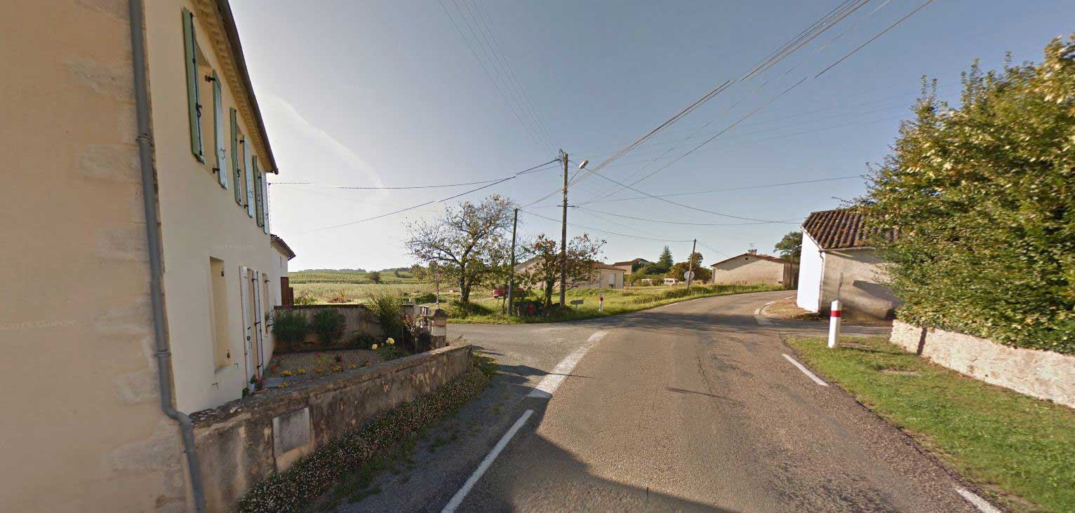
16
Place called Gaillard
At the crossroads turn right, then straight on to the RD1113.

17
Front crossover RD1113
At the crossroads, always straight ahead, cross the railway line to reach the RD1113.
18
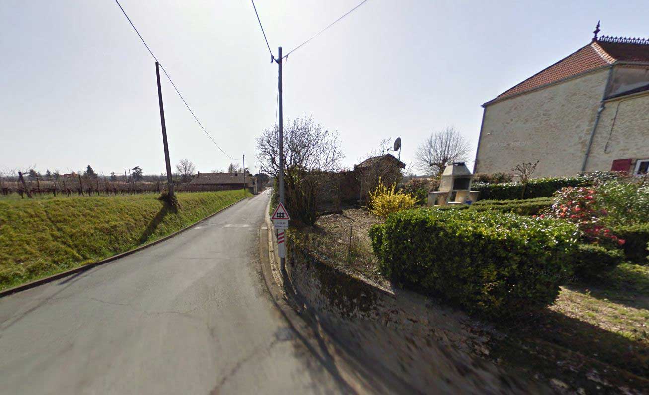
RD1113
Cross the RD1113 and turn left for 50 m then right by a small road which descends towards the Garonne
19
Road along the banks of the Garonne
At the crossroads turn right, the road runs along the bank of the Garonne to return to Saint-Macaire.
20
Garonne river crossing
Arrived at this junction turn left by the dirt road, if this one is impassable continue straight on the limestone road.
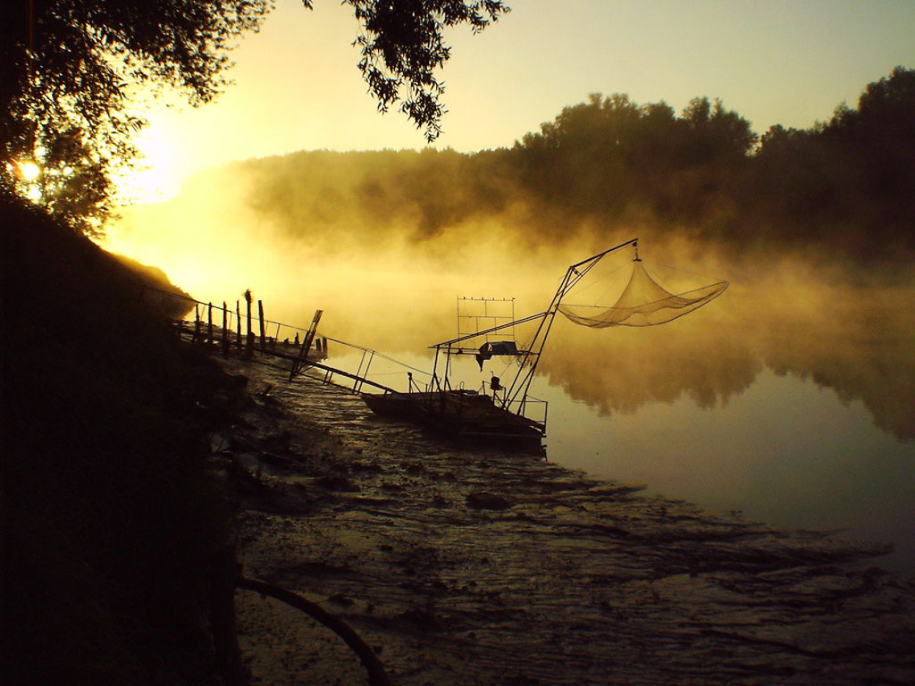
21
fisherman's hut
Near the fisherman's hut you come out on a small paved road, turn right to go back to town.
22
Republic Courts
At the intersection turn left to return to your starting point

Points of interest

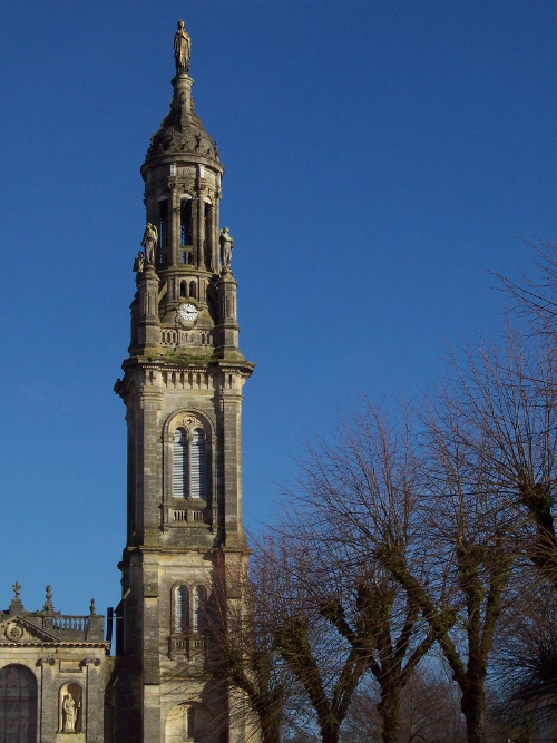
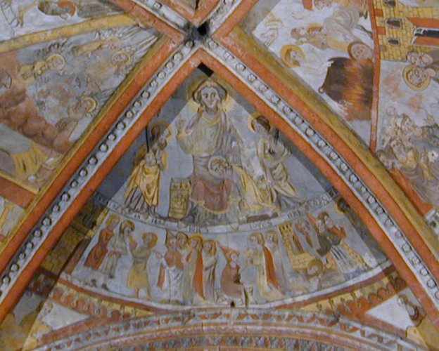
Basilica of Our Lady of Verdelais

Tomb of Henri de Toulouse Lautrec
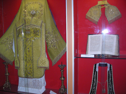
Verdelais Religious Art Museum
Verdelais Way of the Cross
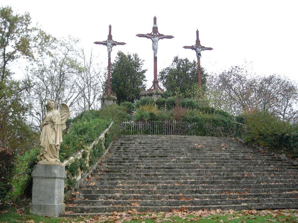
Calvary of Verdelais
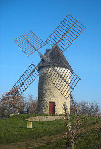
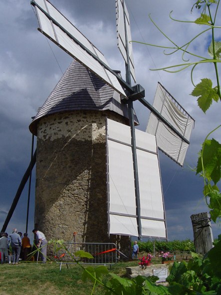
Mill of Cussol

Málaga
Banks of the Garonne
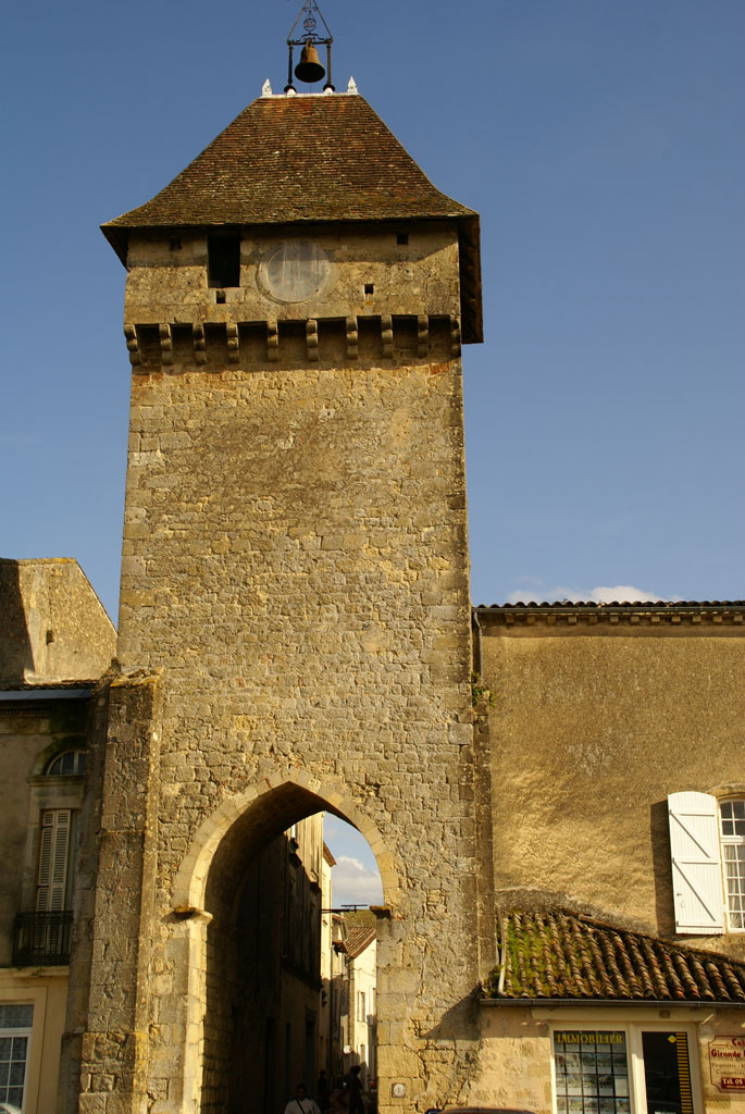
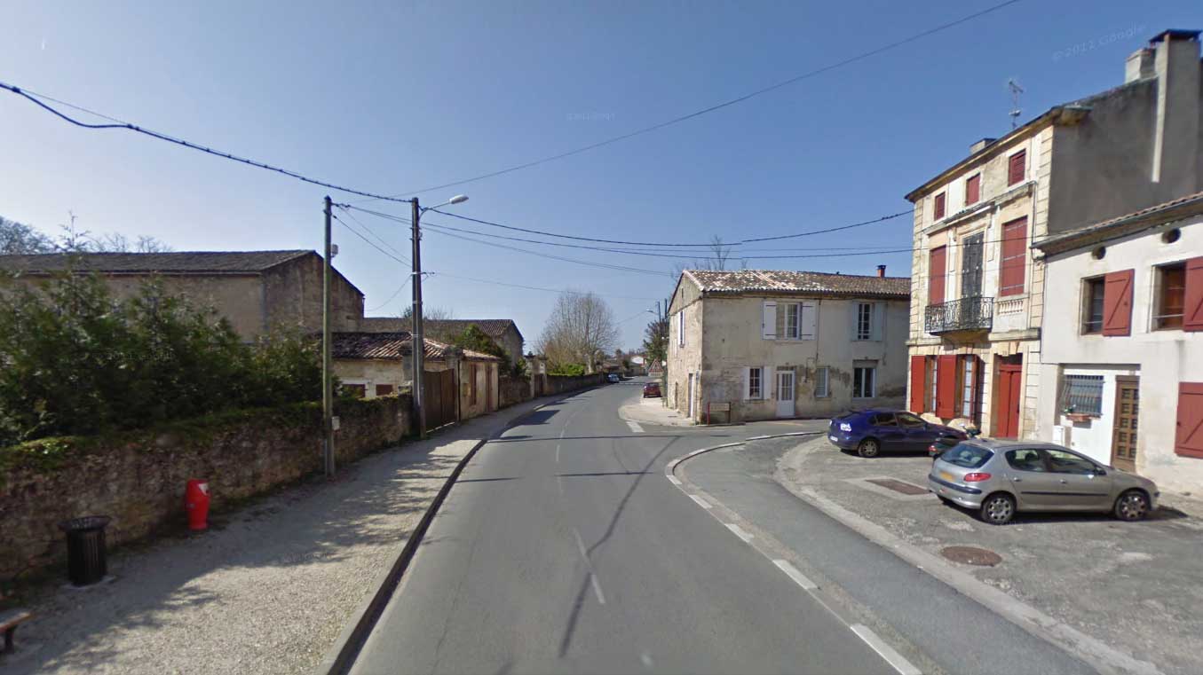
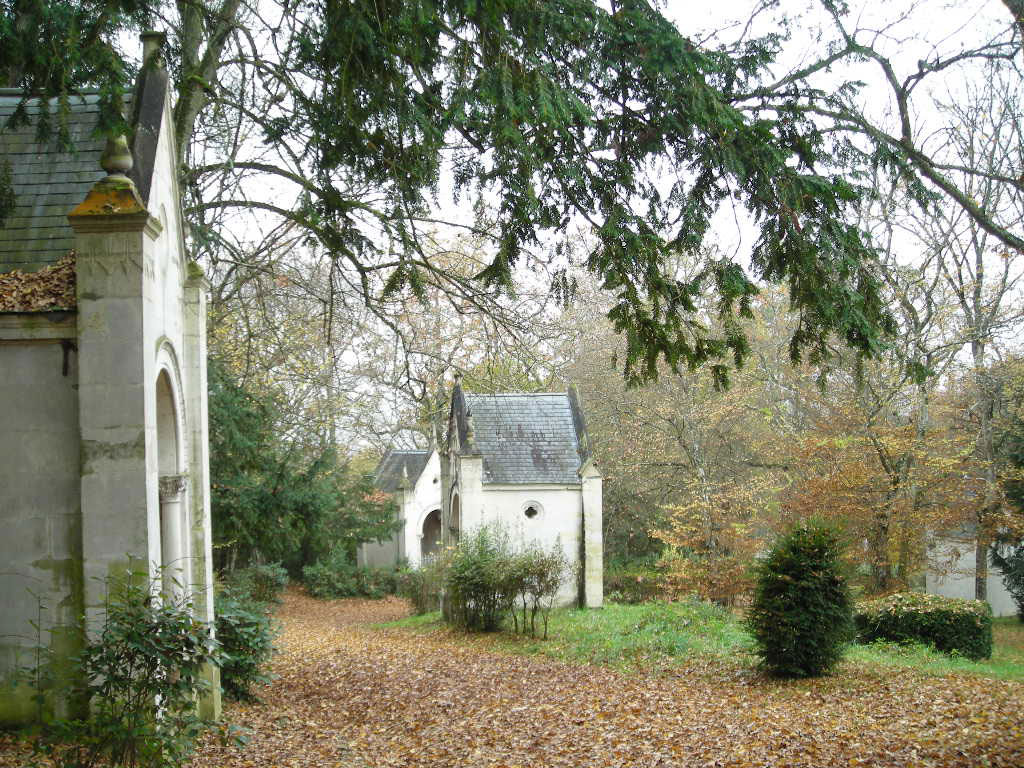
Medieval town of Saint-Macaire
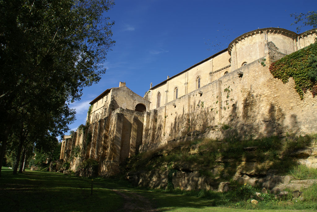
Medieval town of Saint-Macaire
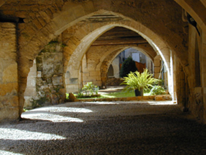
Medieval town of Saint-Macaire
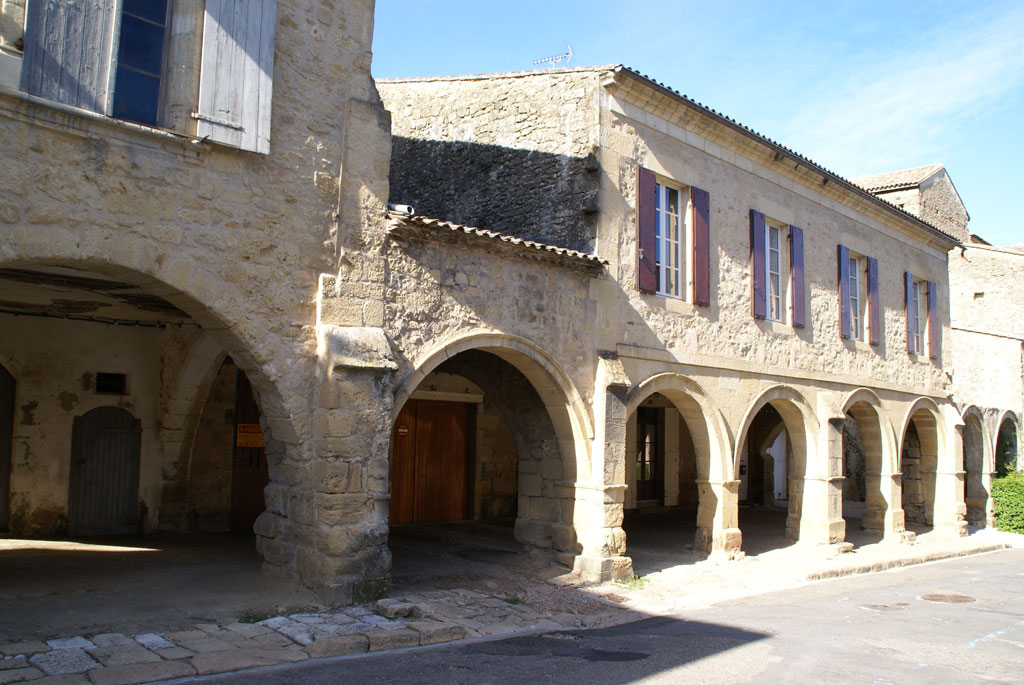
Medieval town of Saint-Macaire
Medieval town of Saint-Macaire

Medieval town of Saint-Macaire