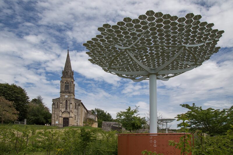
PUMPJAC
Your itinerary
1
The start
Step not located on the map
Park in front of the school and the town hall of Pompéjac. Take an immediate right to reach the village hall. Go around it to the left then join the road. Go to your right to follow this last one which goes down at first then goes up! After having traveled 1km, take the path on your left.
2
Step 2
Step not located on the map
Walk 100m on the way then, you arrive at a crossroads. Turn right and continue in this direction until you reach the road. Turn right, 300m further, straight ahead and, after 700m of walking, the road turns into a path. Take the latter and keep your course, it will take you to a road after 1km 200 of walking.
3
Step 3
Step not located on the map
On the road, continue in the same direction and at the next junction, turn left. The road descends. Before reaching the bend, turn left.
4
Landes Girondines
Step not located on the map
Stay on the road and at the end of it, go around the barrier and go down to get back on the road. Go straight. The road turns into a path. Follow the latter and the markup. You are, for 4km, in the heart of the Landes de Gascogne forest.
5
Checkin
Step not located on the map
After 1 km of walking, take on your right the road which will lead you to the village of Pompéjac.
