Distance: 26,6 km
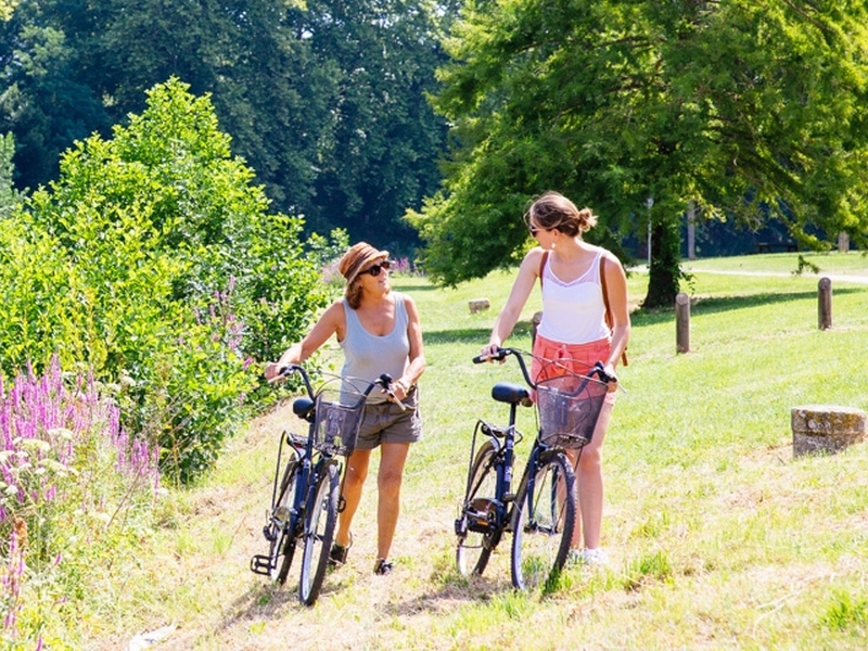
by bike
Duration: 3h
Difficulty : Average
Departure: CAUVIGNAC
CAUVIGNAC
Through this picturesque walk, you will appreciate the different points of view on the landscapes of the South-Gironde.
Your itinerary
1
Departure from Cauvignac
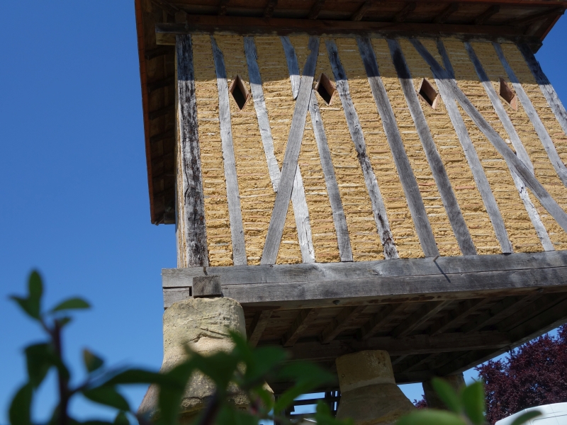
From the town of Cauvignac, take the D124 towards Sigalens. Stay on this road for 4.5 km until Sigalens. At the entrance to the village is the church and a dovecote.
2
Step 2
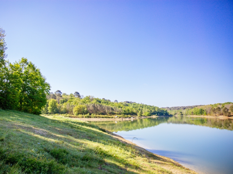
Continue on the D 124: opposite the town hall, on the left, a road indicating "the lake" leads you to the lake of Sigalens. Picnic tables are available.
3
Step 3
Retrace your steps then, at the stop sign, turn left. At the first intersection (a place called "Cap de la Gouge"), turn right on the D110 towards "Cocumont". Go past old tobacco barns, most of them renovated. 700 meters later, you will see beehives on your right at a place called “Rastaud”. Just after, the road offers a panorama of the Lot-et-Garonne hillsides. This winding road descends for 2 km and joins the Lysos valley.
4
Step 4
Arriving at the end of the descent, a road goes immediately to your right, with a very tight bend. Take this road, which runs along poplar plantations, thus guessing the presence of a river, the Lysos, below.
5
Step 5
After 1.8 km, at the stop sign indicating the direction of "Montclaris", continue straight for 1 km to a place called "La Verrière".
6
Step 6
Follow the road that goes to the left (sign "prohibited to vehicles of 6 tons"). The paved road then climbs to the heights of Saint-Loubert after 1.6 km. A view emerges to the right of the Lot-et-Garonne hillsides.
7
Step 7
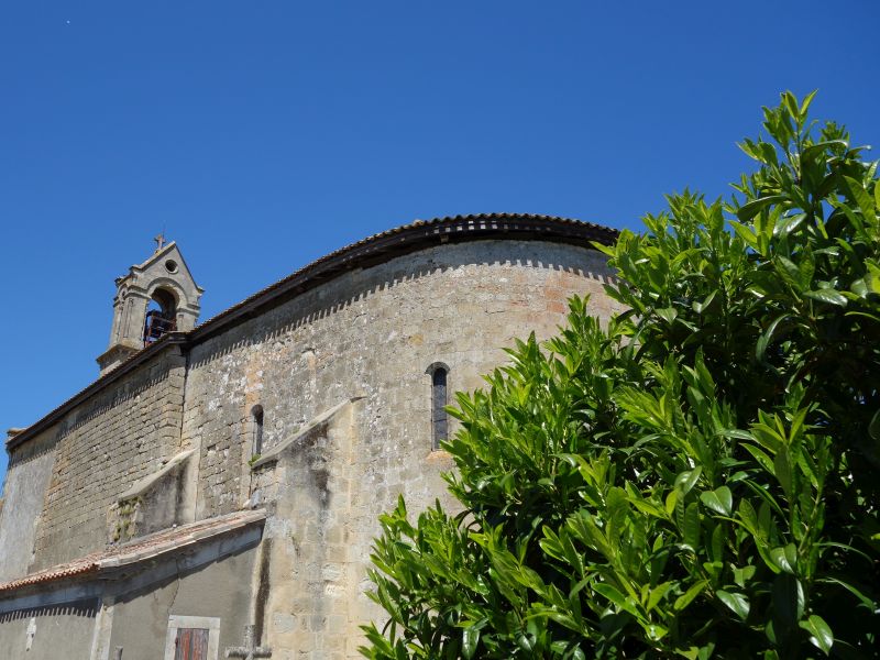
Arriving at the intersection, turn right towards the water tower. The Church of Saint-Loubert is visible from the road.
8
Step 8
Before the “Saint-Loubert” sign, turn right in the direction of “Moulin du Puch”. The road descends for 1.1 km and joins, once again on your journey, the Lysos. During this descent, you will see in the distance on your right the church of Montclaris.
9
Step 8
At the intersection turn left then immediately right on the V1 towards Masseilles. The road climbs again for 1.8 km to the village of Masseilles.
10
Step 9
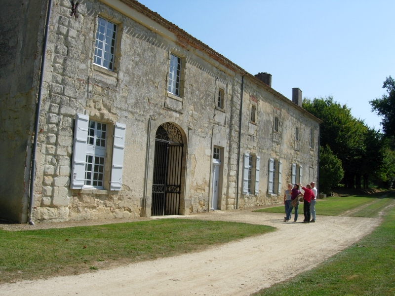
Go through the village of Masseilles. After 1.5 km, continue straight at the intersection with the D10. The first path on your left leads you to the Abbaye de Fontguilhem (private site).
11
Step 10
Continue on the road for 400 m, to a place called “Lavigne”: turn right at the start of the stony road, then the path immediately on the left. This 1.3 km path, which crosses a road in the middle, brings you back to the town of Cauvignac, before the place called "Gâche".
12
Step 11
At the end of the path, turn right. then cross the places called "Gâche", "Carsin" and "l'Estève". At this last place, at the end of the road, turn left.
13
Step 12
After 600 meters, arriving at the stop sign, turn right to return to the town of Cauvignac.
Points of interest
Church of Sigalens

Dovecote of Sigalens
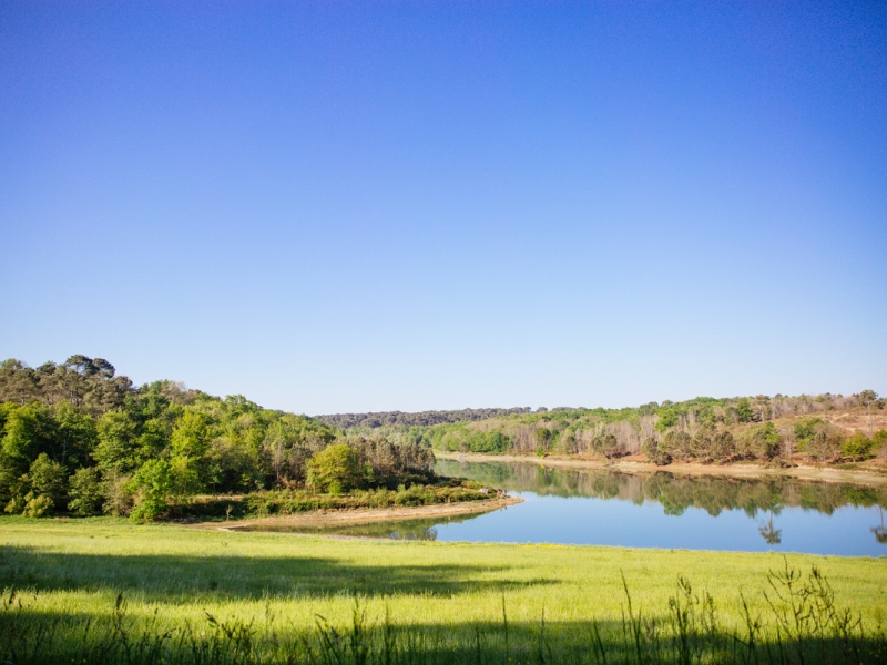
Lake of Sigalens

Church of Saint Martin of Montclaris

Church of Saint-Loubert

Church of Saint Martin of Masseilles
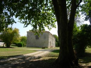
Abbey of Fontguilhem