Distance: 15 km
walk
Duration: 4h
Difficulty : Difficult
by mountain bike
Duration: 1h
Difficulty : Average
Elevation: 60 D +
HOSTENS
Vert
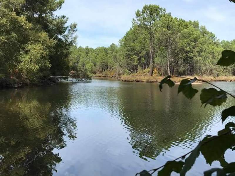
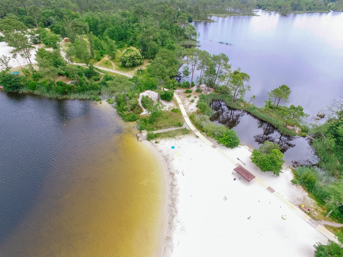
Around water (canal, stream, lake, marsh, ...)
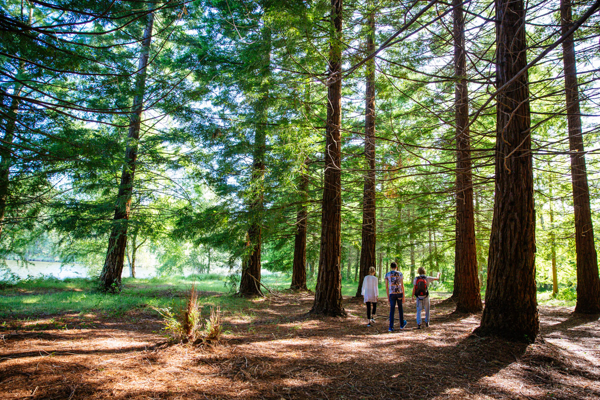
Forests
HOSTENS
This route is temporarily closed.
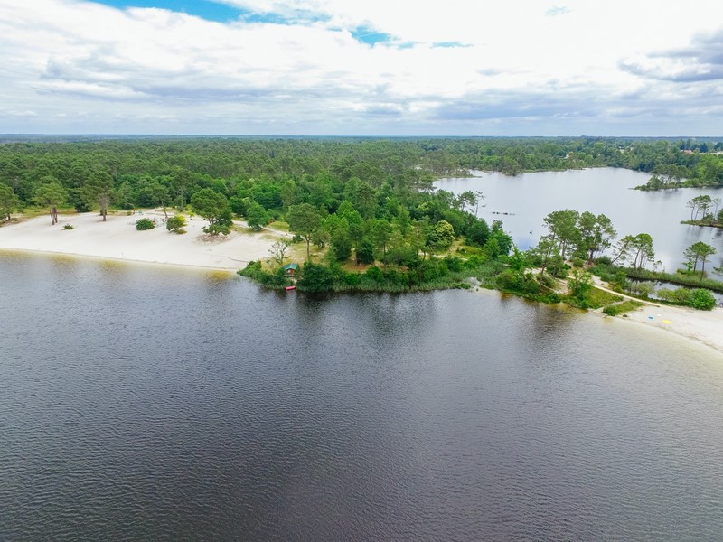
The domain of Hostens is classified zone NATURA 2000 and Sensitive Natural Area, pledge of its richness!
Come and recharge your batteries thanks to this beautiful 15km walk, in the heart of a protected area. You will take many paths, in the middle of the dense Landes de Gascogne forest. This hike can be done on foot as well as by bike! On your way, you may come across a few horses, because it is also possible to go around the Bousquey lake astride!
Your itinerary
1
The start
Step not located on the map
When you are facing the tourist office of Hostens, turn left for 100m, then left again. Follow the path for nearly 1km600 before turning right. Walk 100m before arriving at a crossroads. Stay on the main path going straight. Continue in this direction for 900m enjoying the beauty of the surrounding lakes. You walked 3km!
2
Step 2
Step not located on the map
You have just arrived at a small parking lot. At this point, turn left for about 100m then left again. And 500m further, on the right. Ignore the small paths on your right (unless you want to do trial mountain biking) and continue on the path for 700m before turning right. A little further on, turn left. Always walk straight, ignoring the paths on your right, for 750m. You walked 5km!

3
Step 3
Step not located on the map
You arrive at a crossroads with several paths and a small road. Do not go to the latter but walk along it, turning left just before! A little further, straight ahead then, 50m, right. Follow the path for 600m and you arrive on a road. Take it for 20m and left, then left again on the track. Walk 500m before turning left. Follow this wide path for 3km600! You come to a crossroads with roads ahead and to your left. Take the path on your right for 200m, then right again. Then, in front of you, you have three paths, take the middle one! You walked 10km100!
4
Step 4
Step not located on the map
Walk 600m then left on the small path. 400m further, you arrive at a crossroads, turn left. Walk 500m ignoring the paths on the right and at the next crossing, turn right. 100m further, continue straight. Follow the path for 700m to come to an intersection, turn right. After 150m, turn left at a new crossroads. Follow the path for 350m to reach the departmental road. You walked 13km!
5
Step 5
Step not located on the map
Do not cross the road right away, walk along it for 100m then cross to take the path opposite. BE CAREFUL, cars can arrive quickly. Continue for 600m. At the crossroads, turn left. Walk 600m to a junction with two different paths. Take the right. You are at 14km400.
6
Step 6
Step not located on the map
Follow the path until it becomes a bike path. Take the track. After walking 600m on this track, take the small path on your left. At the end of the latter, to the left, and after a few steps, immediately to the right. The next right takes you straight to the tourist office and the end of the hike!
Points of interest